Southern Absaroka Loop (Teton/Washakie Wilderness) - August 2021
I'd been looking forward to this trip for quite a while and it was great to finally get out there and do it. The goal was primarily just to get a good look at a large portion of the Teton Wilderness and spend time in a variety of environments/elevations - it was an excellent trip in that regard. We took it easier the first couple days - primarily following the CDT - before leaving the trail to ascend Yellowstone Point, get to the Continental Divide, and follow that back to Brooks Lake. I had planned to climb Younts Peak, but unfortunately we made the decision on Day 4 to cut the mileage short so my brother could rest (he was having trouble keeping food down and the calorie deficit was really hurting him) and that necessitated removing that detour from the trip. (I'm planning to take a long weekend early-ish in the season next year to get up there - hopefully w/ some snow still on the ground, if anyone is interested in joining.)
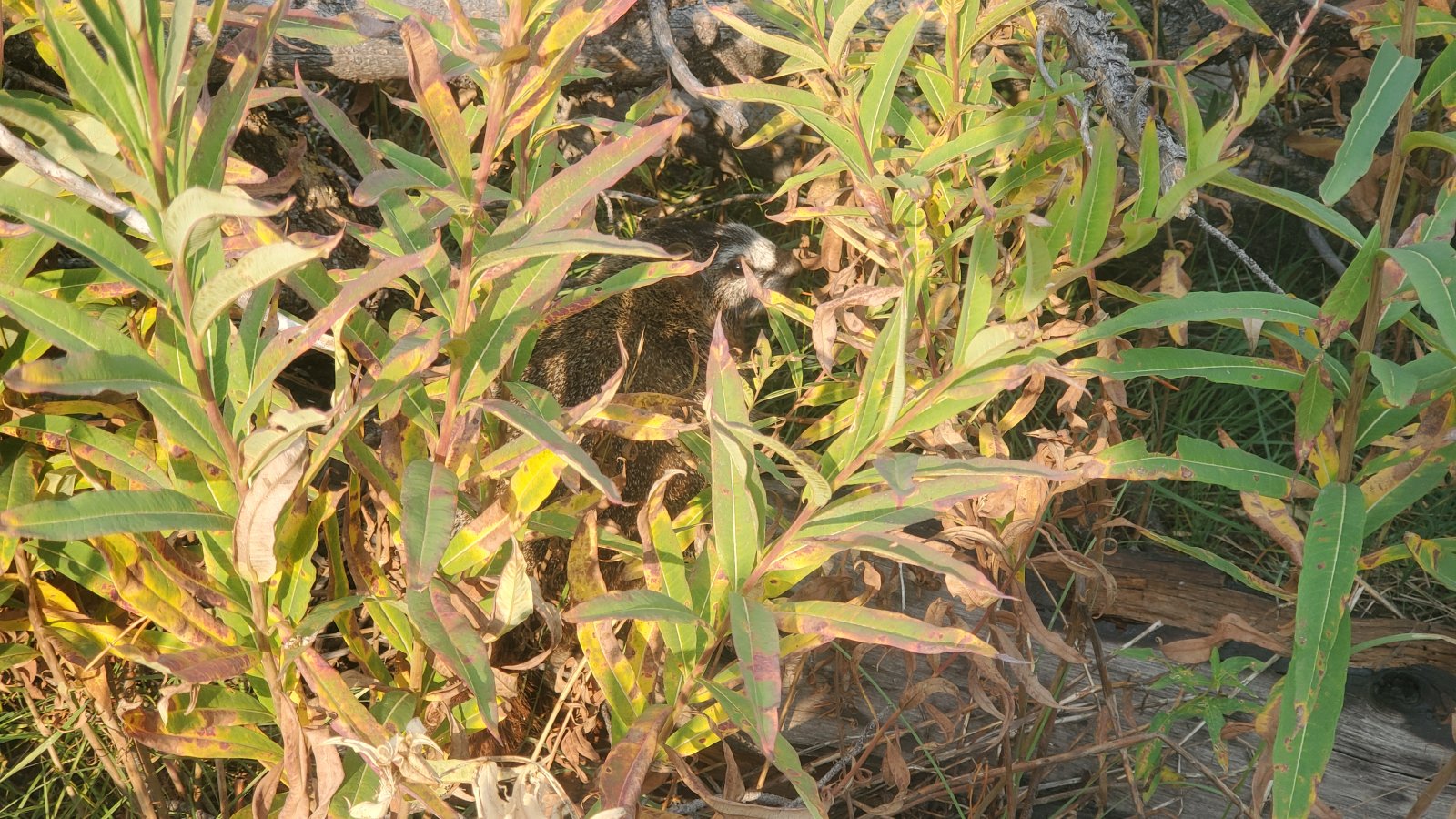
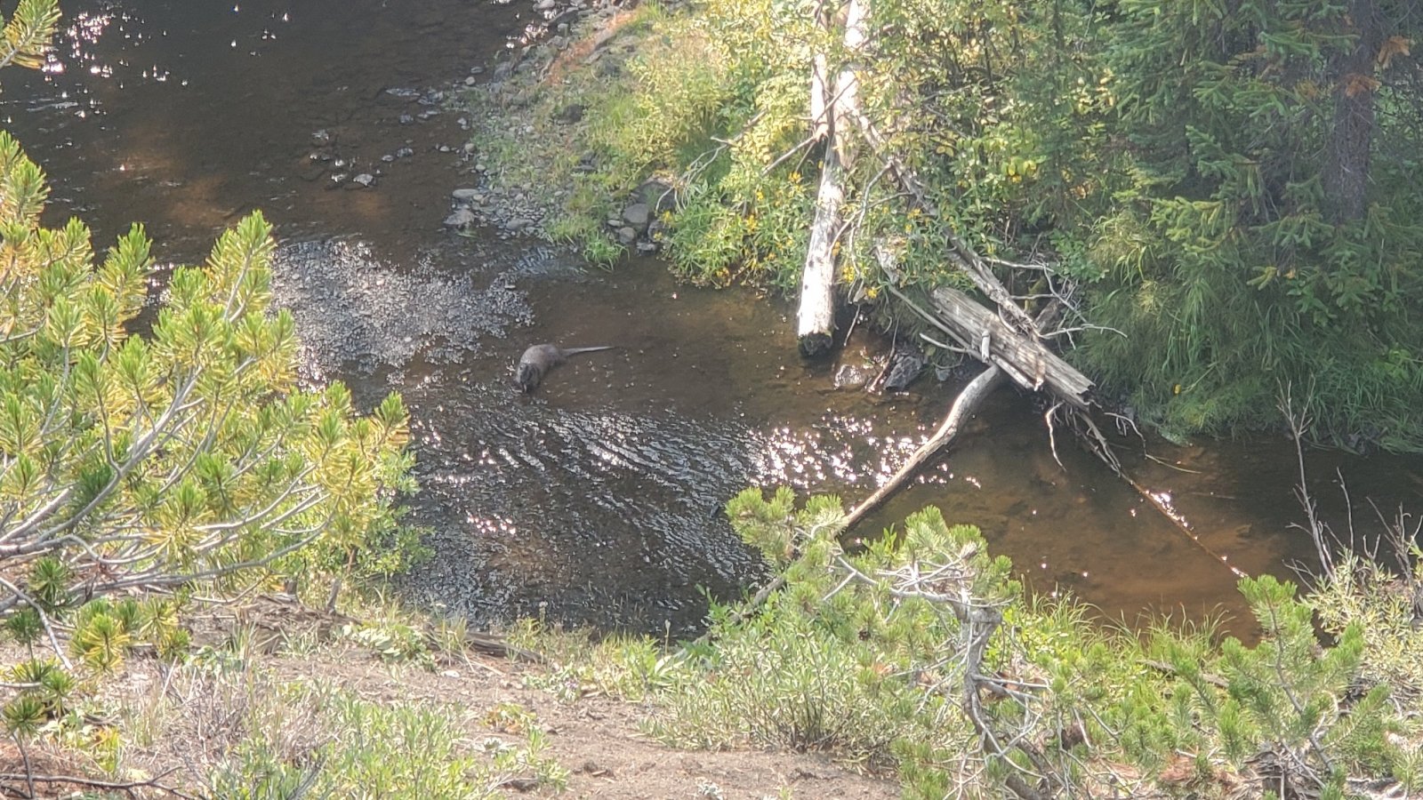
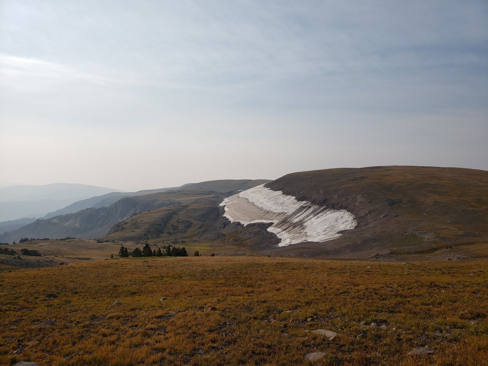
We knew going in that smoke was going to hamper views, but it was still pretty spectacular once we got up to 10k'. And we had amazing weather otherwise. Bugs were mostly gone, except in the lowest portions. We had a few cool animal encounters - watched a river otter catching/eating fish, a few long-tailed weasels, a very young porcupine, marmots, and lots of mule deer - but no bears, moose, or elk. Lots of bear signs to be found though. so I'm sure a few of them saw us.
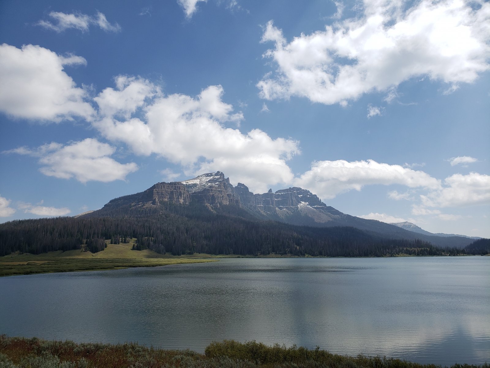
Day 1: Brooks Lake to South Buffalo Fork [10.62 mi]
The Brooks Lake TH area is pretty spectacular right from the parking lot, but the trails are really beaten up by the fairly high horse traffic. It was a pretty straightforward hiking day; we ran into a few southbound CDT hikers that seemed grateful for the sun - the GYE had seen a few straight days of rain just before we hit the trail.
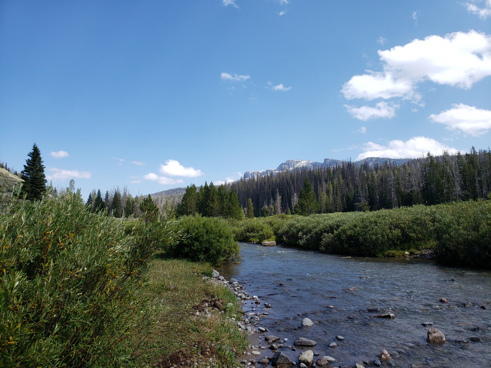
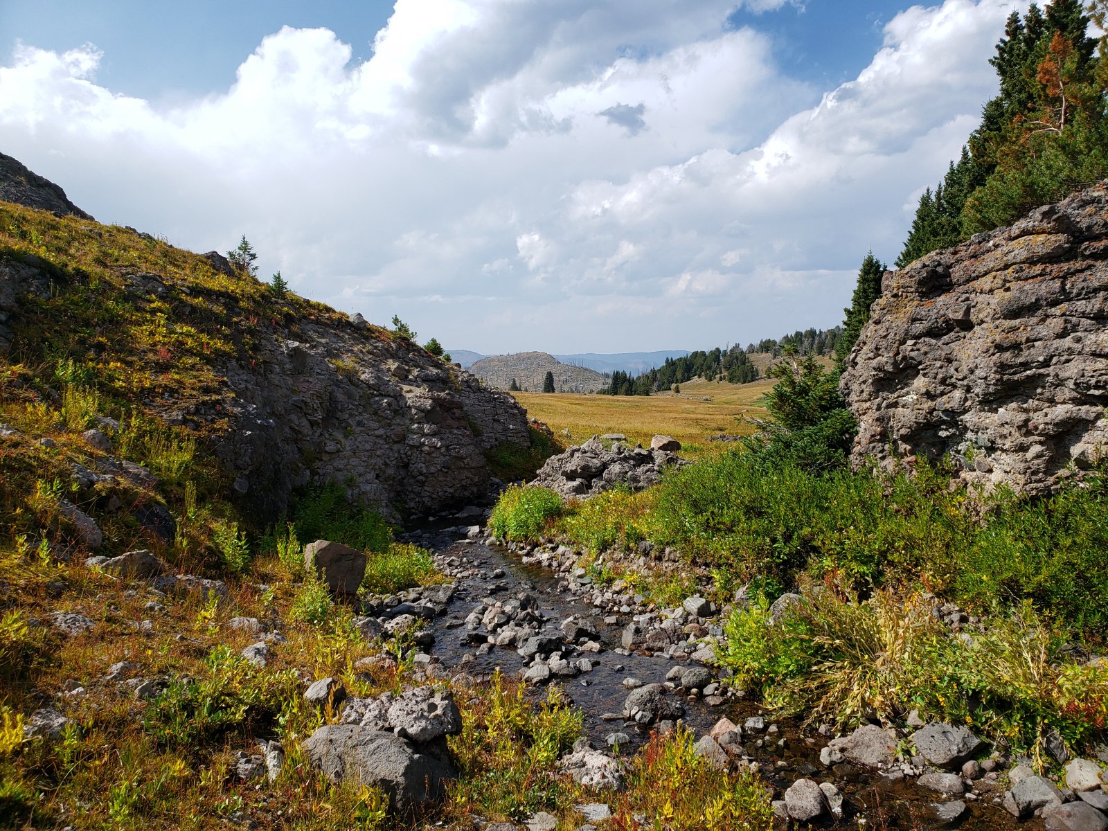
Day 2: South Buffalo Fork to North Fork Meadows [13.83 mi]
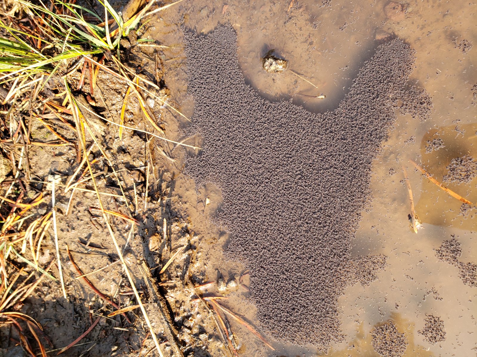
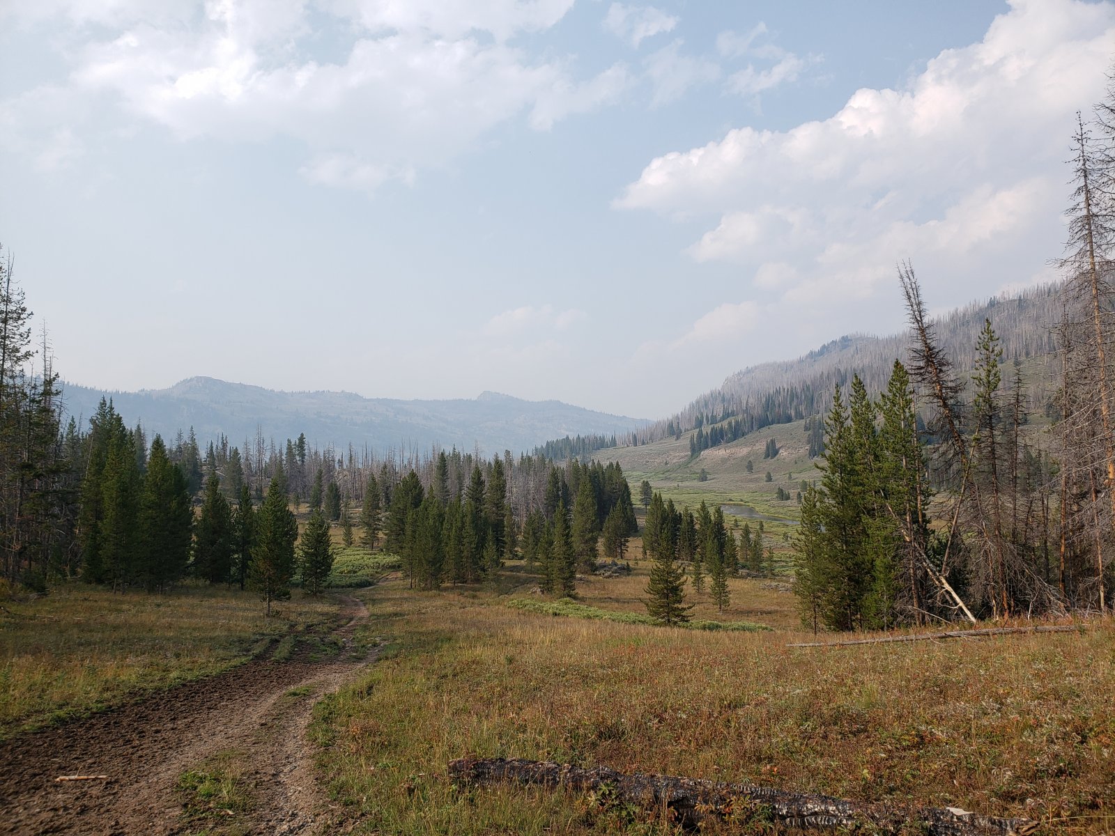
This was another fairly straightforward day of following the CDT along trails heavily trafficked by horses, but the weather was fantastic and we only saw one or two other people all day. It did strike me yet again how terrible a route the CDT takes through the GYE when compared to almost any other options, but I guess it's (kind of) the most direct route near the Divide itself.
Some early overnight rain had millions upon millions of small springtails gathering in the collected water along the trail. It was fascinating to see these masses of life all along the trail - they almost looked like oil slicks in the distance.
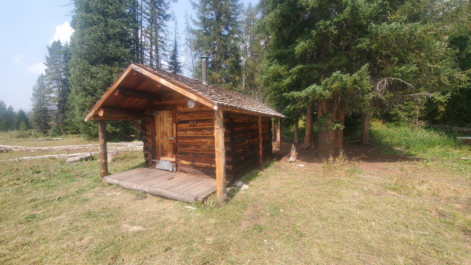
We took a short break at a small USFS ranger cabin near Nowlin Meadows.
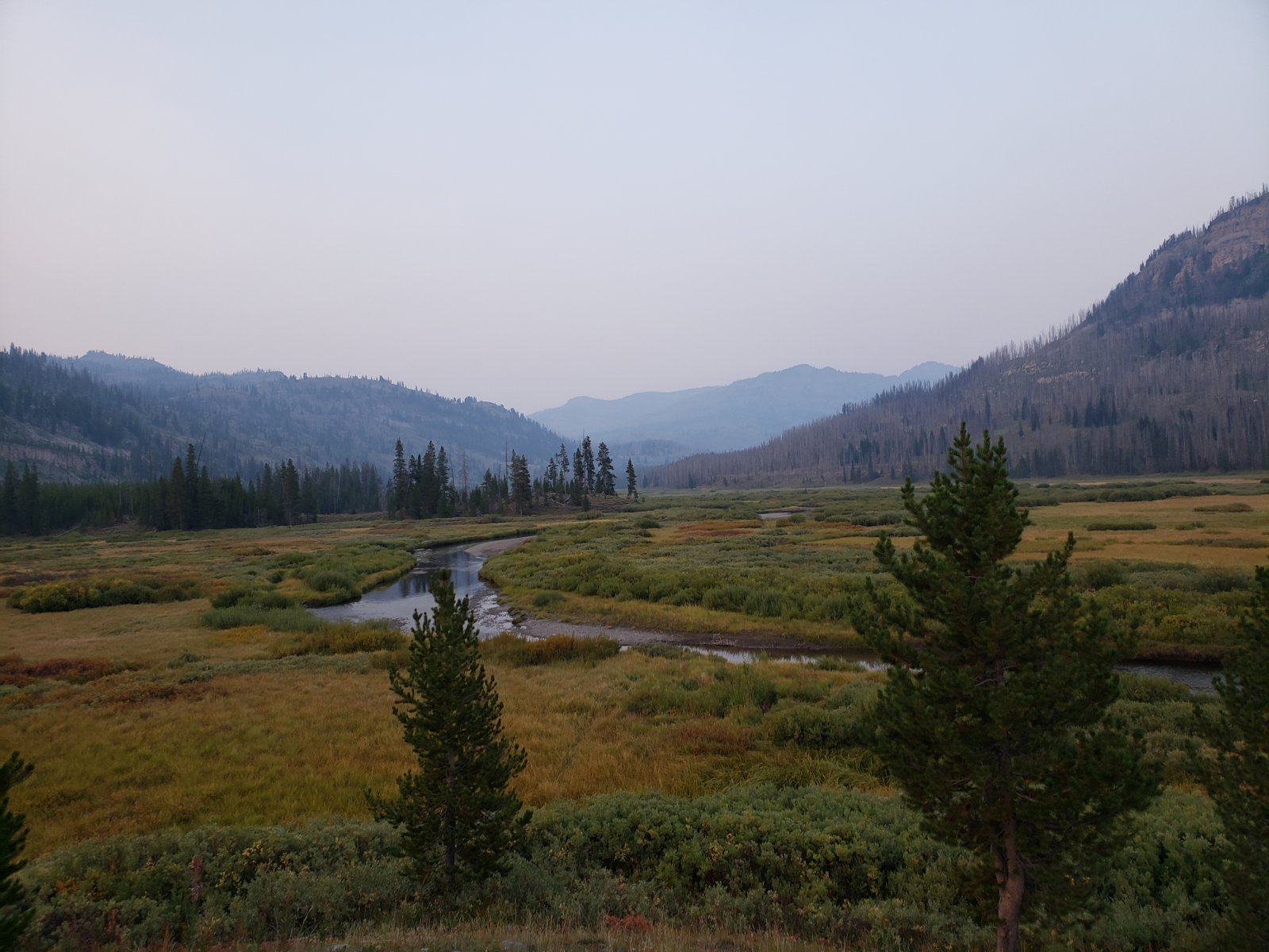
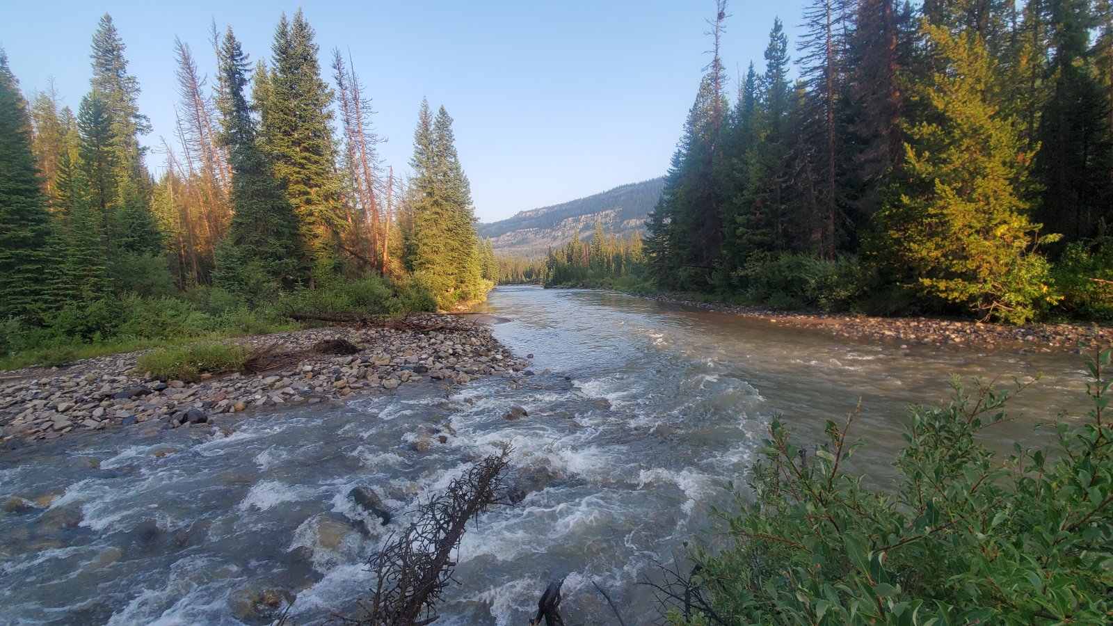
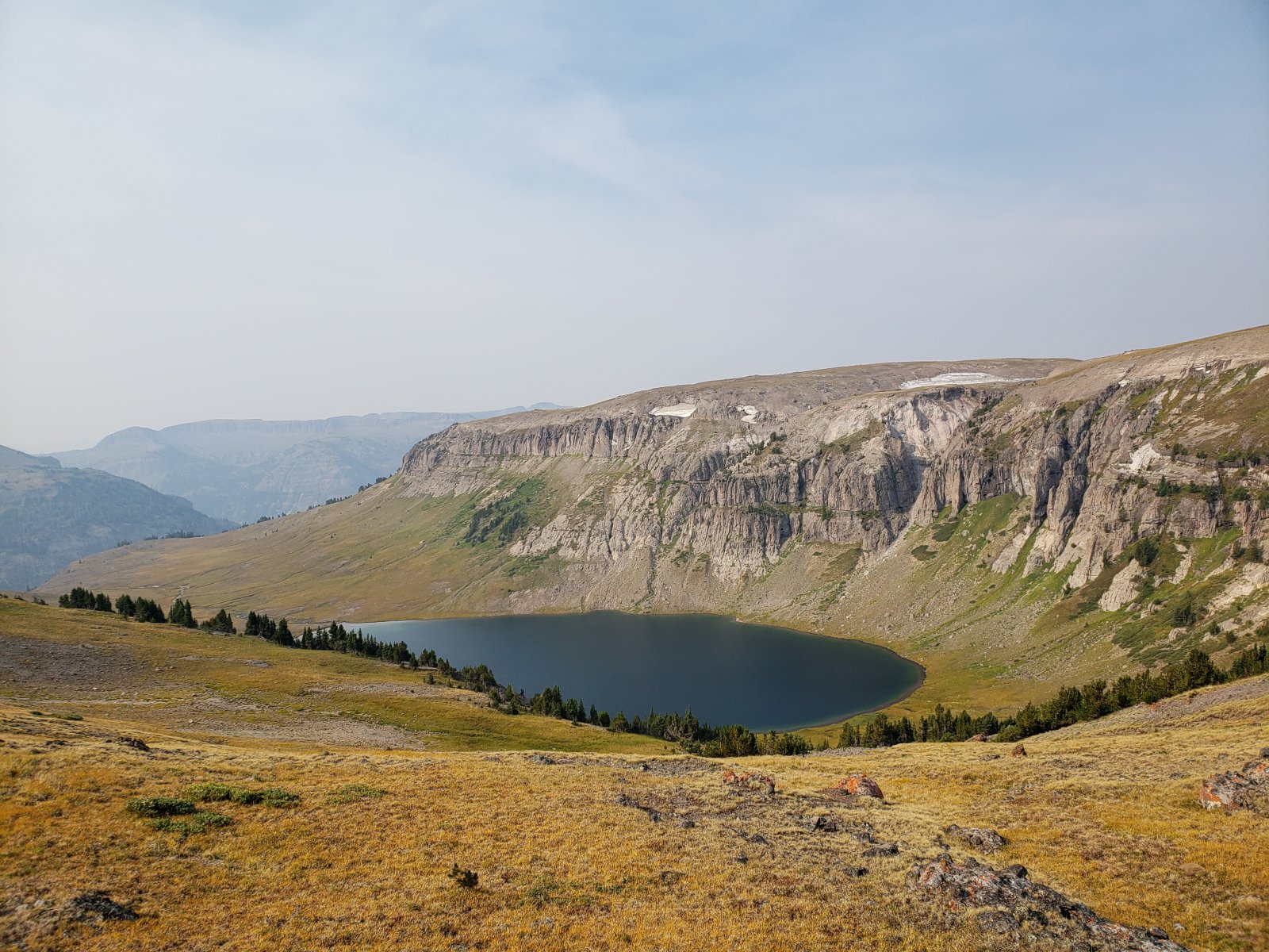
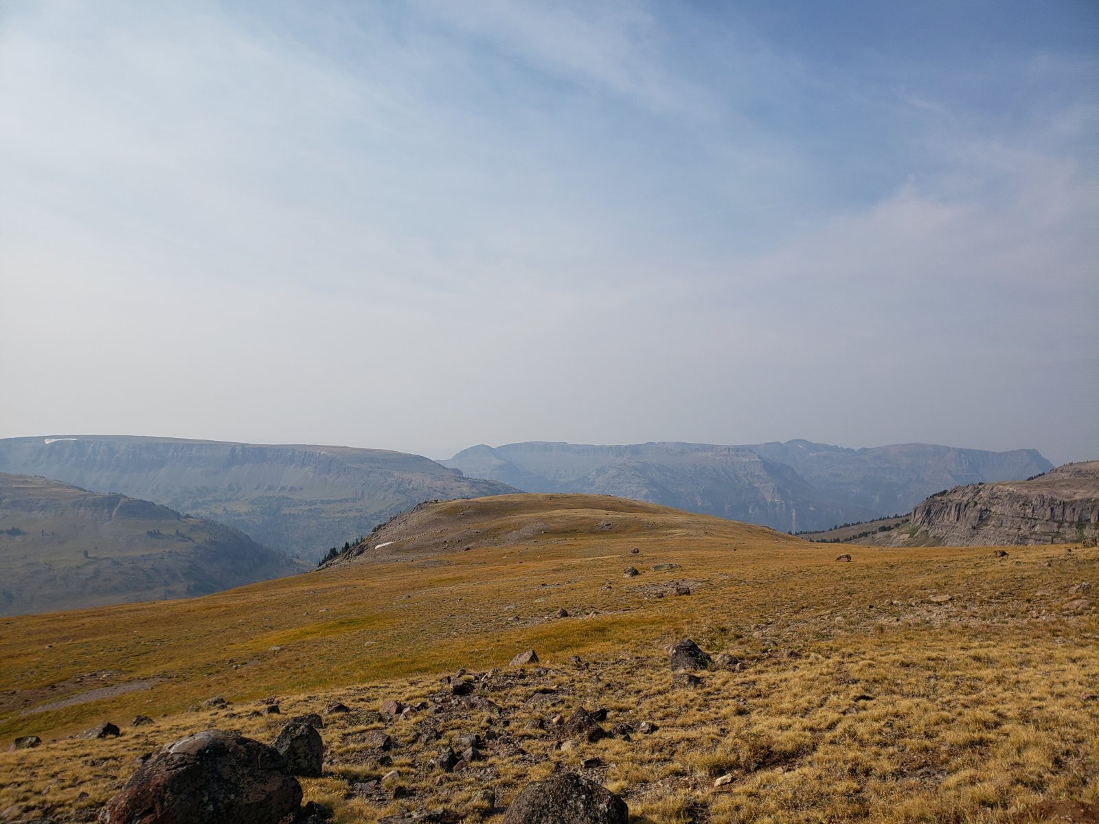
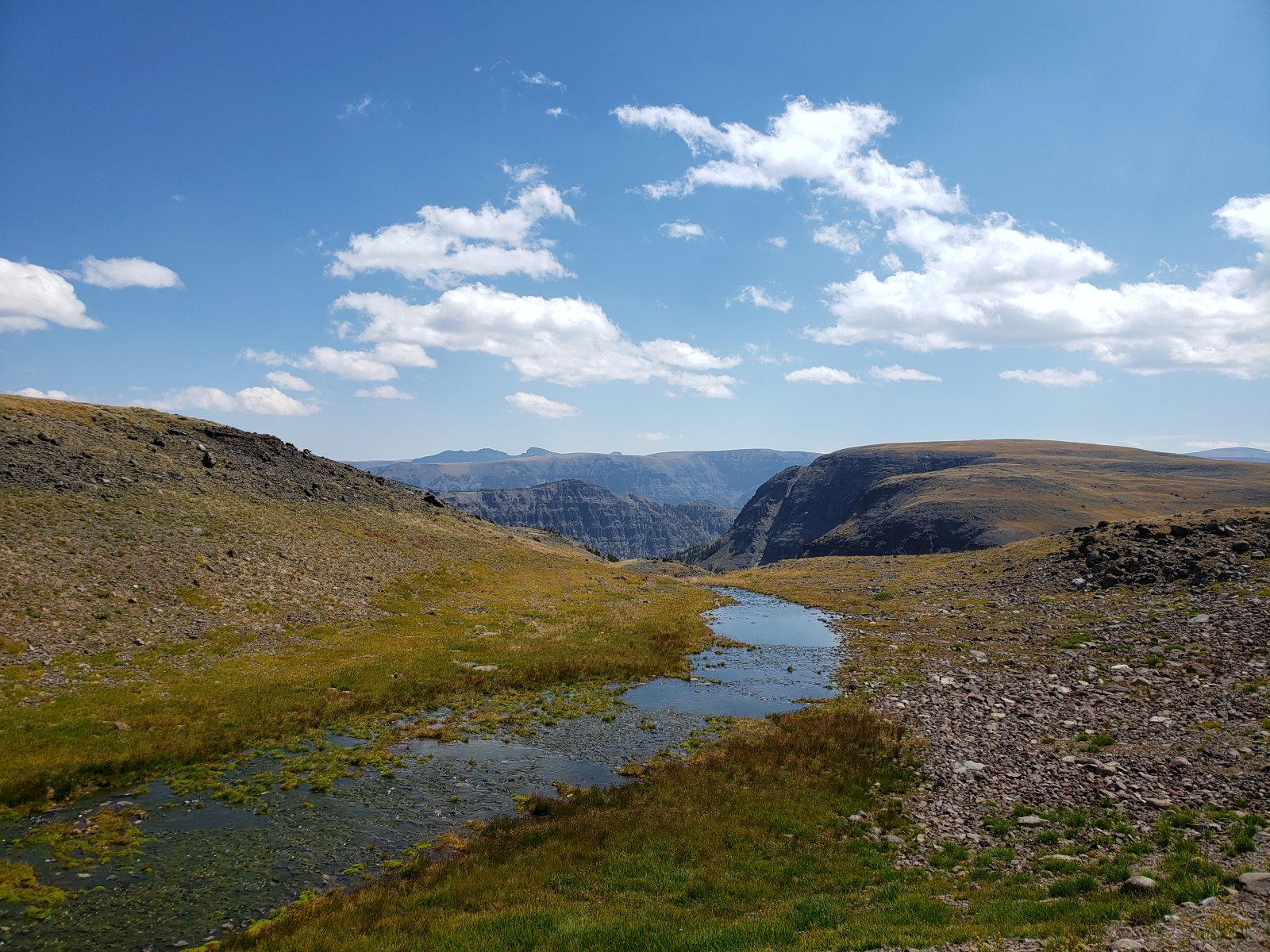
Day 3: North Fork Meadows to Yellowstone Point [13.23 mi]
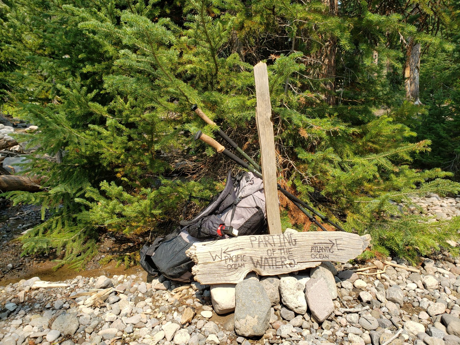
Day 3 would follow the CDT to the Parting of the Waters on Two Ocean Pass which had been on my GYE "bucket list" for a while and was pretty neat - a nice place for lunch anyway. Then we headed north along Atlantic Creek towards the national park, but left the trail before reaching the Yellowstone River to climb Yellowstone Point.
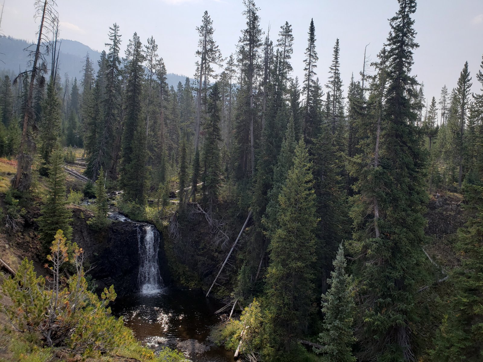
If you look extremely closely you can see our river otter friend in this picture, but I didn't even know he was there yet - I was just taking a picture of the waterfall.
Zoomed in photo. A little hard to make out, but he's eating a freshly-caught fish. We sat and watched him fish for half an hour or so.
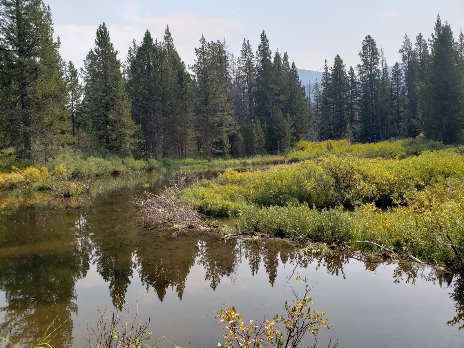
Right before getting to Two Ocean Pass we walked through an area of seemingly very high beaver activity - lots of well-kept dams, numerous chewed trees, and fresh slides. No beavers in sight though.
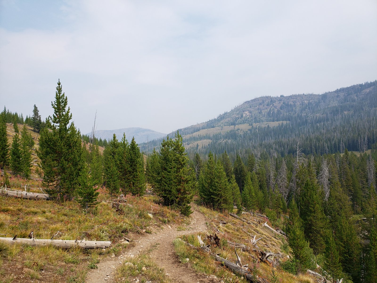
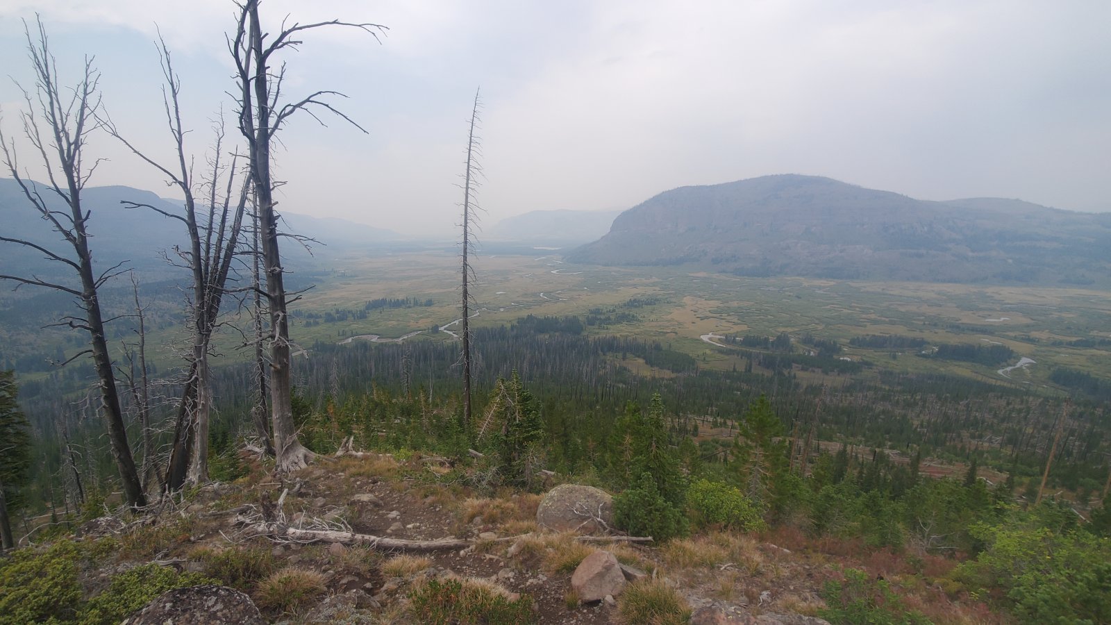
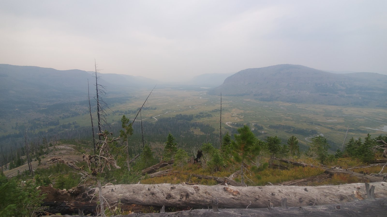
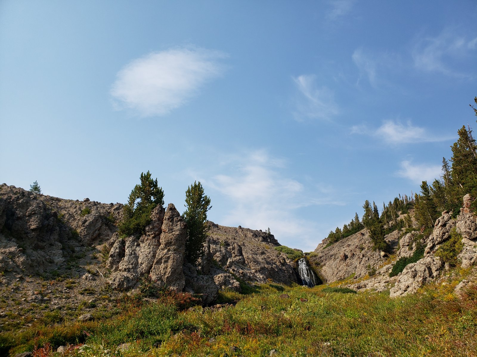
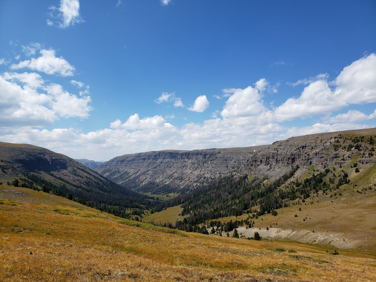
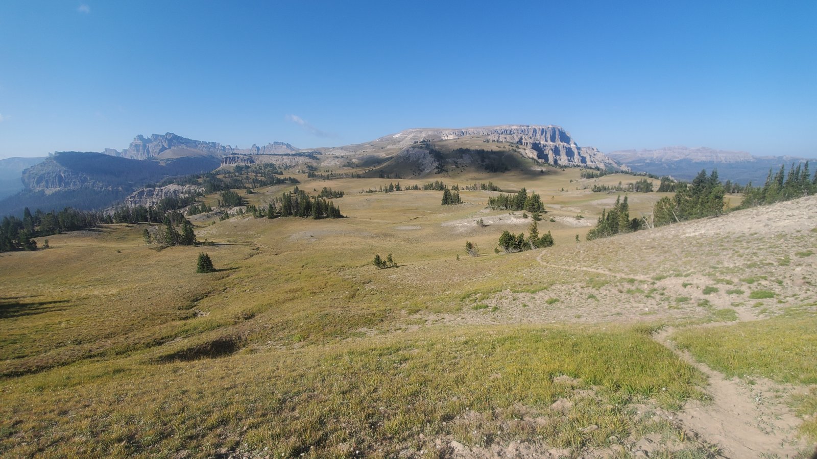
Looking out to Yellowstone Point from the trail. Unfortunately this was one of the smokiest days of our trip, which limited some of the still expansive views.
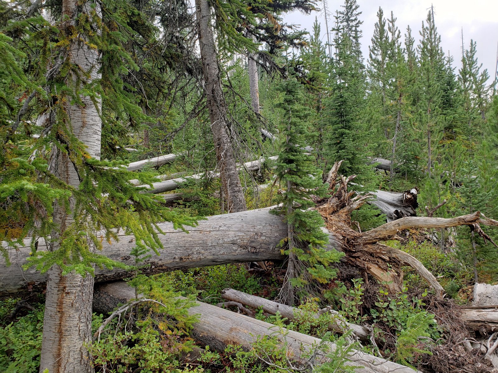
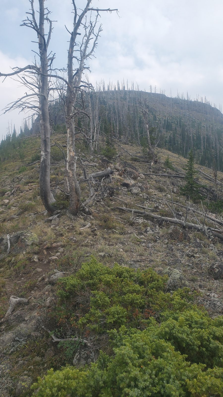
The "path" up Yellowstone Point was quite a slog with quite a few sections that consisted of climbing uphill over/under downed trees. The occasional clearings were quite a relief though the grade was quite steep all the way up.
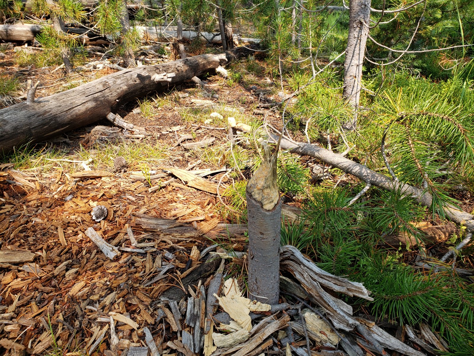
It looks like some bear had made quite the meal out of a good sized termite nest.
Even with the significant smoky haze, the view from Yellowstone Point was phenomenal. I'd love to get out there again on a clear day at some point.
We found that the best view was about two-thirds of the way up the ridge, but we still had a pretty good climb afterwards to get to any decent camping. (My brother was really feeling the calorie deficit at this point.)
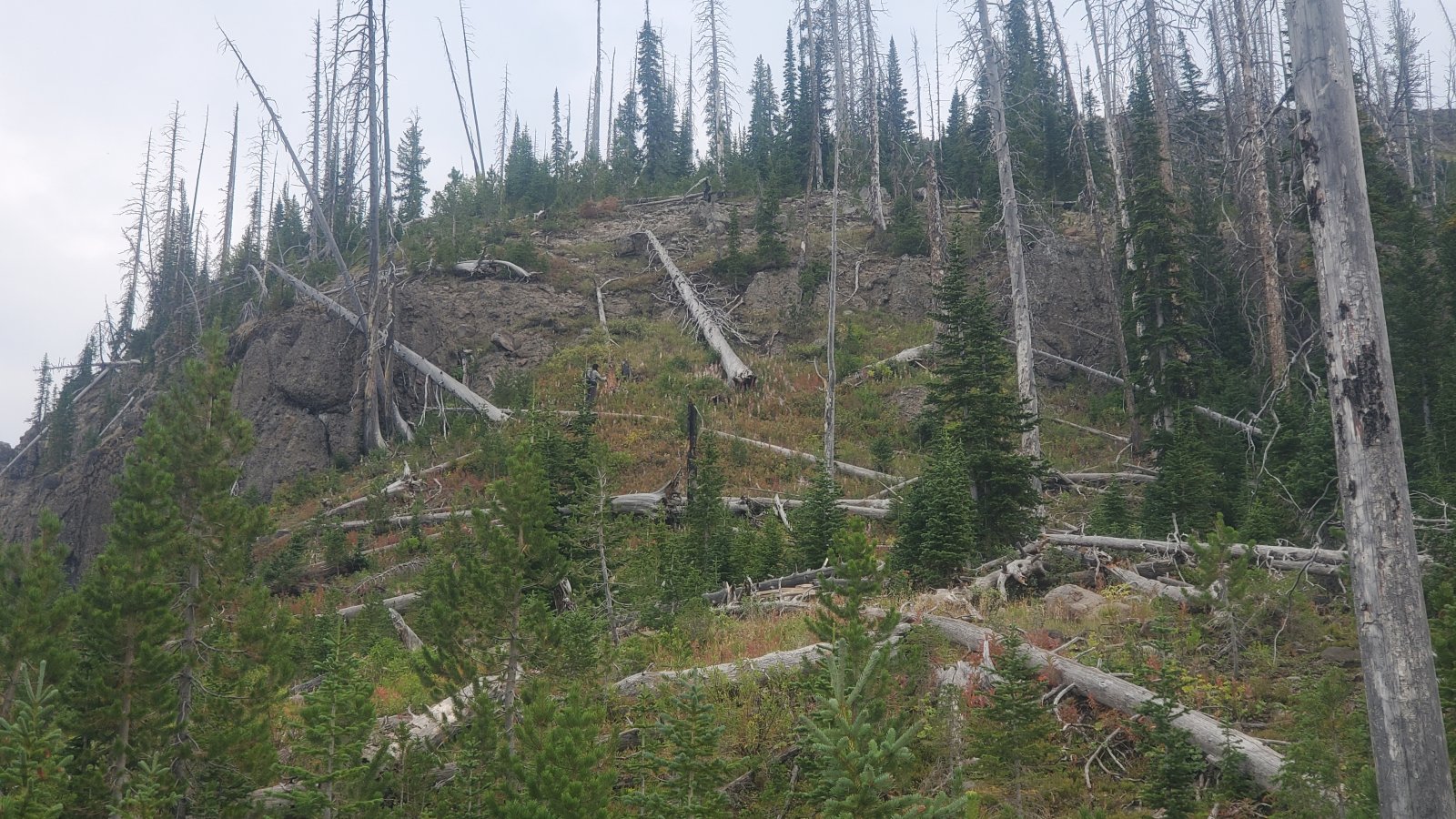
Looking at what would turn out to be the crux of the ascent - ended up finding a descent route, but climbed it sans packs and hauled them up separately.
Looking back at Yellowstone Point from near our camp for the evening.
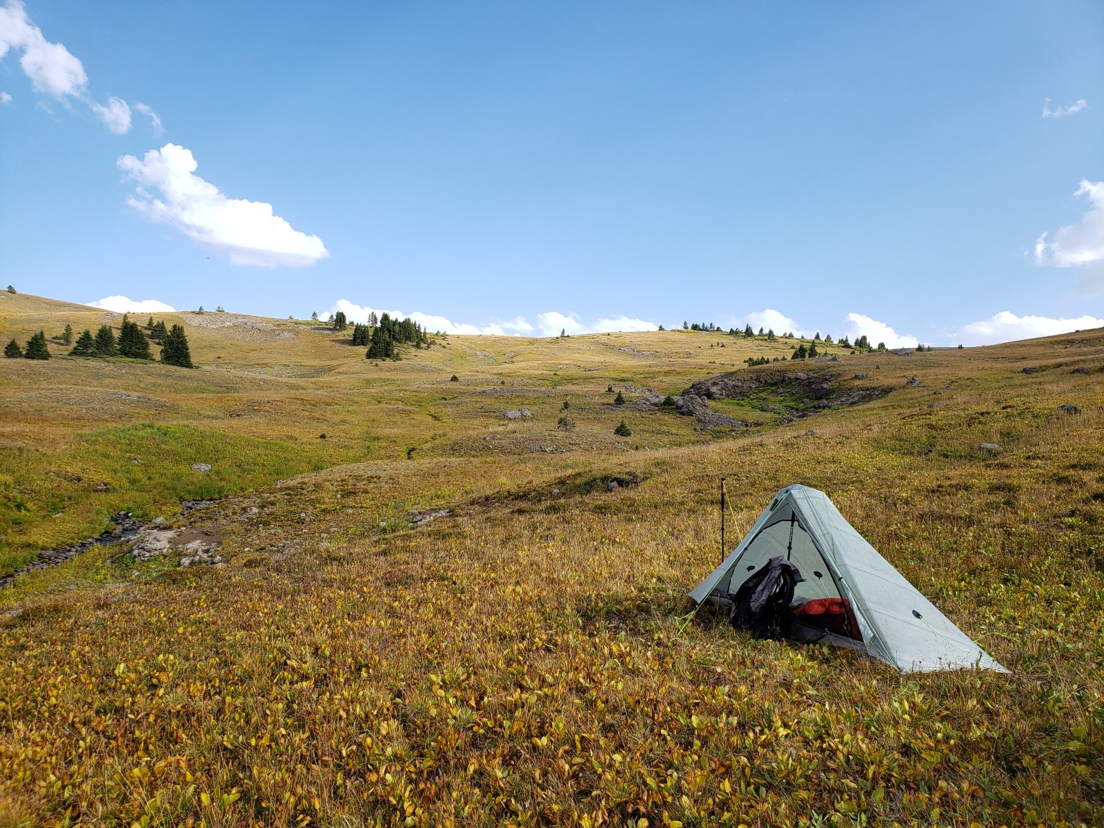
Day 4: Yellowstone Point to Upper Senecio Creek [3.48 mi]
This day became a short mileage day out of necessity - it was at this point that I realized my brother was really struggling. After another pretty gnarly uphill bushwhack we came to an absolutely beautiful spot high up Senecio Creek and decided to just call it a day and let him recover a bit. It turned out to be the right call, though I was disappointed that it would mean cutting our route a bit short of Younts Peak. But regardless, it was a beautiful day and a wonderful spot to hang out and get some quality time with my brother.
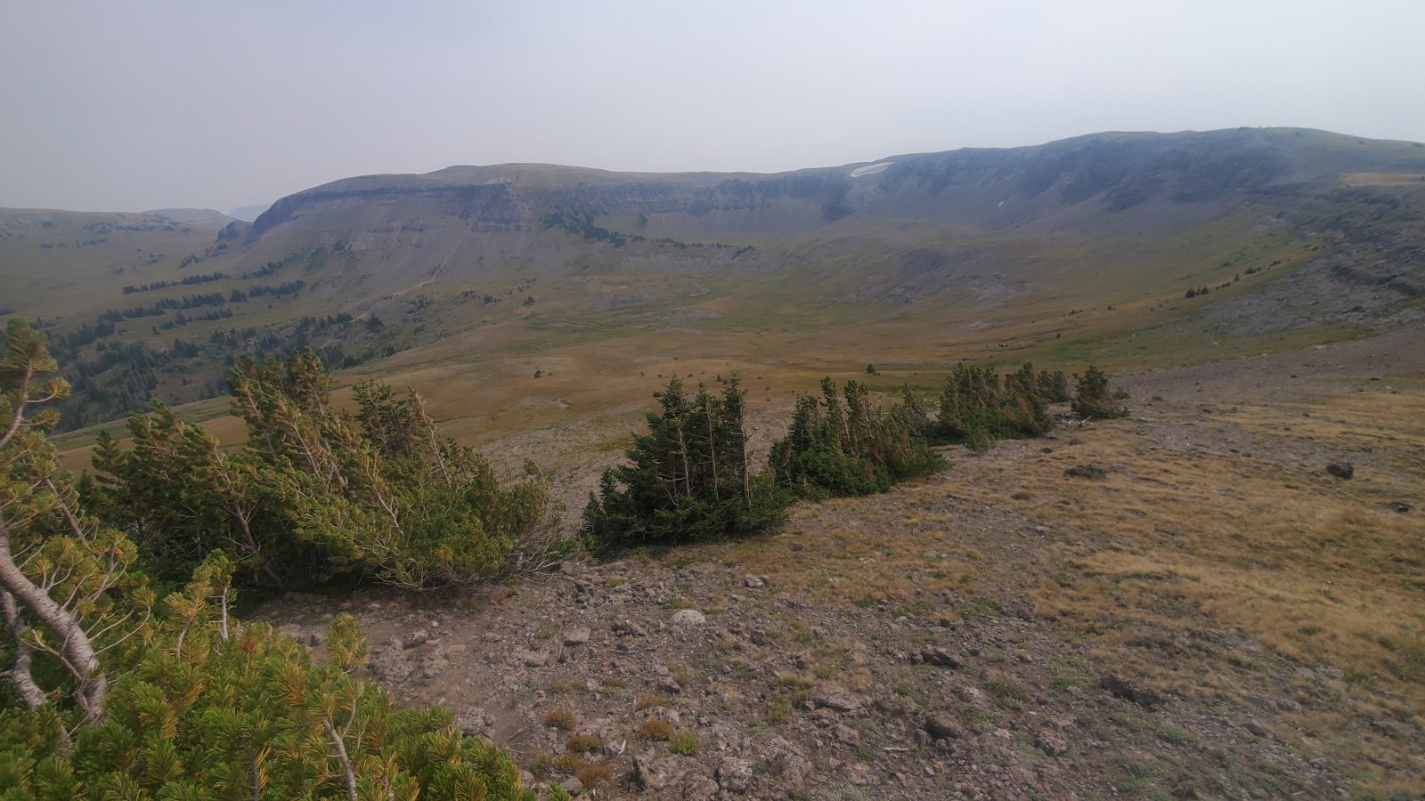
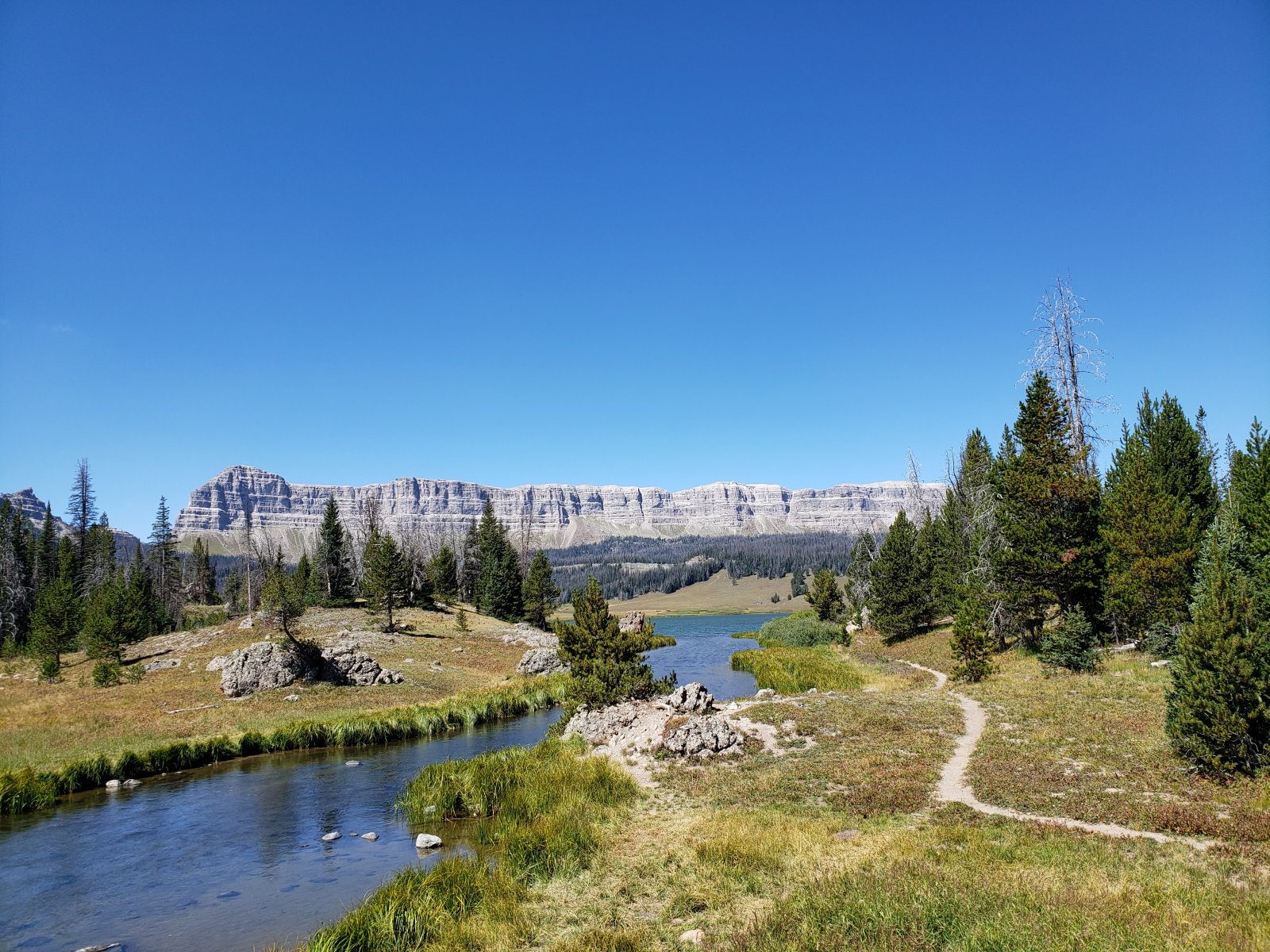
Day 5: Upper Senecio Creek to Upper Lost Creek [14.63 mi]
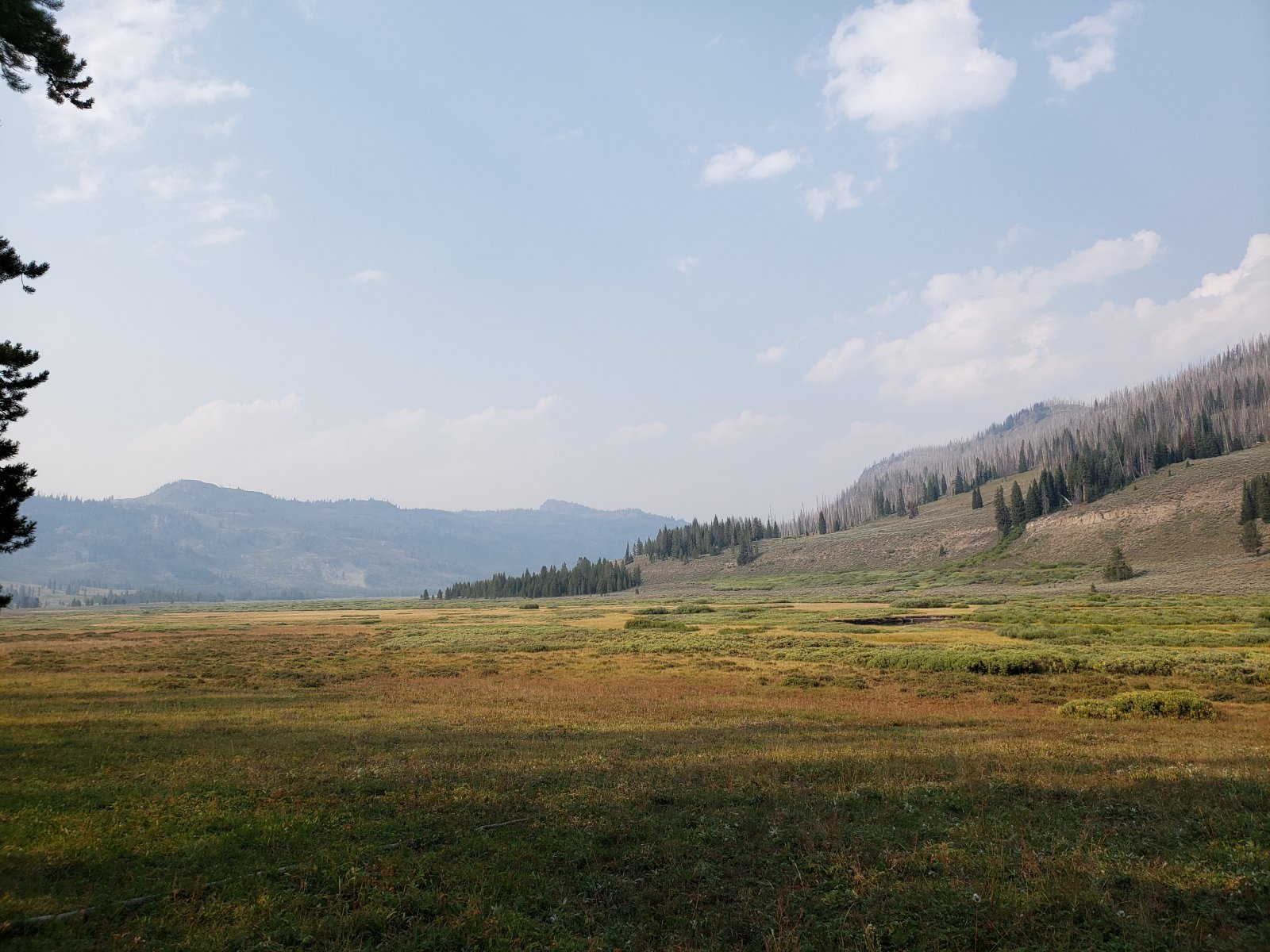
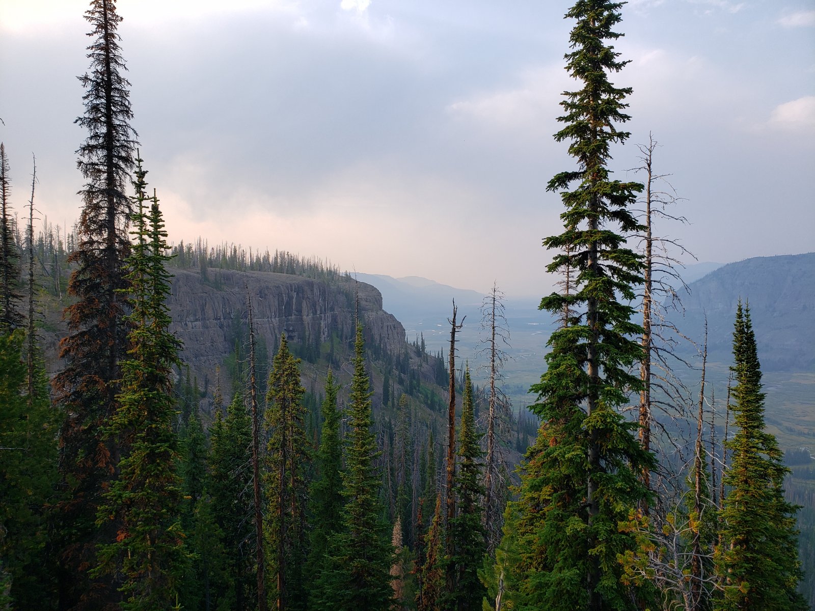
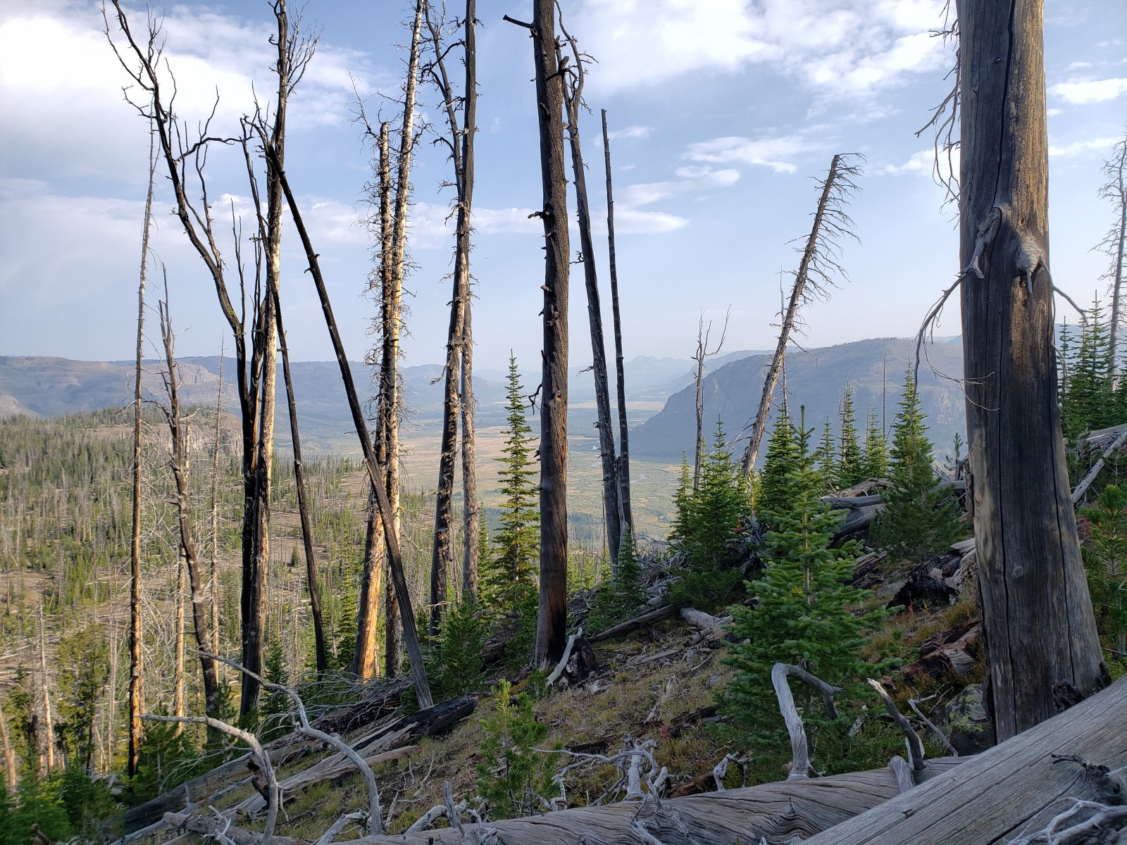
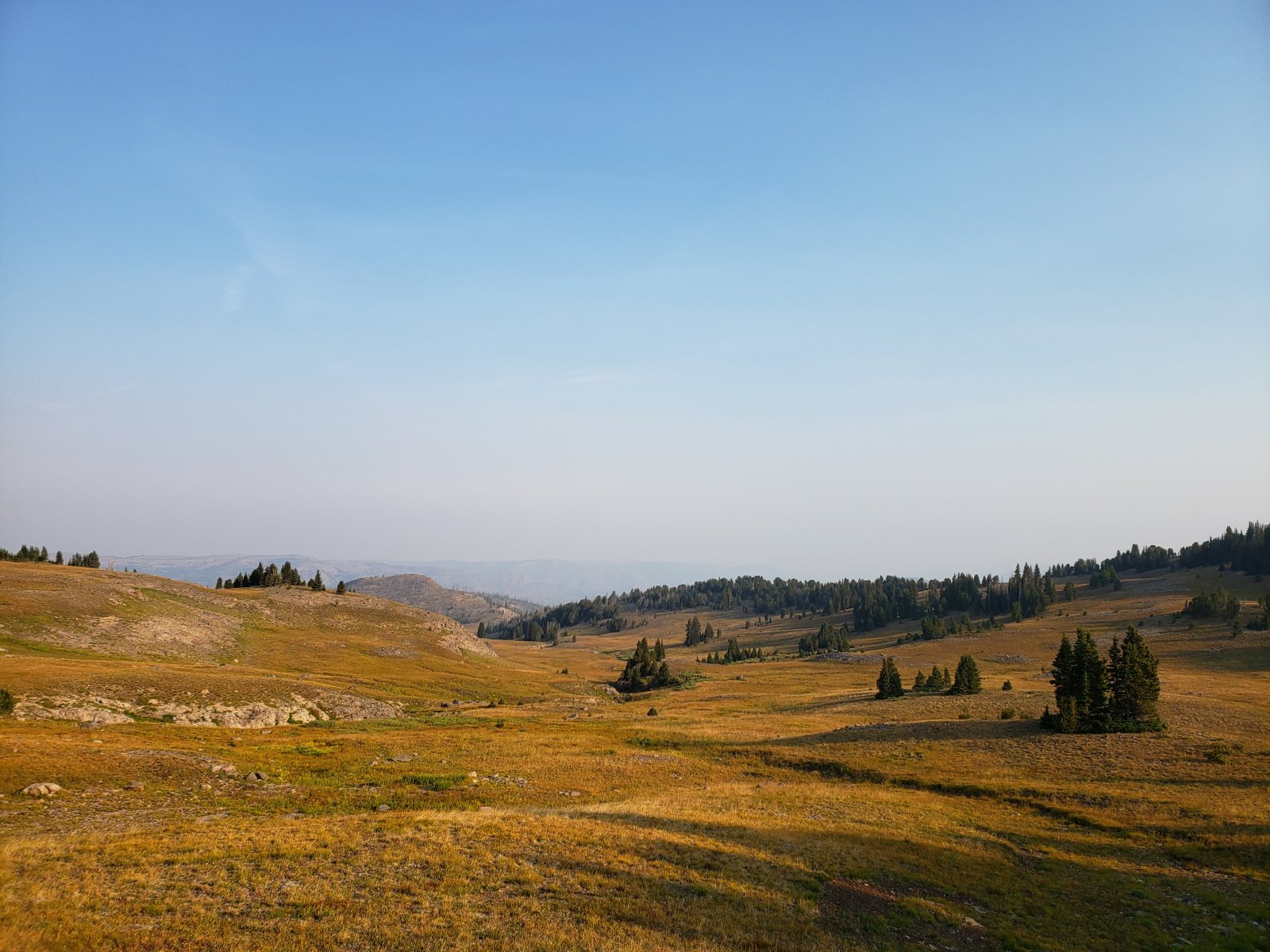
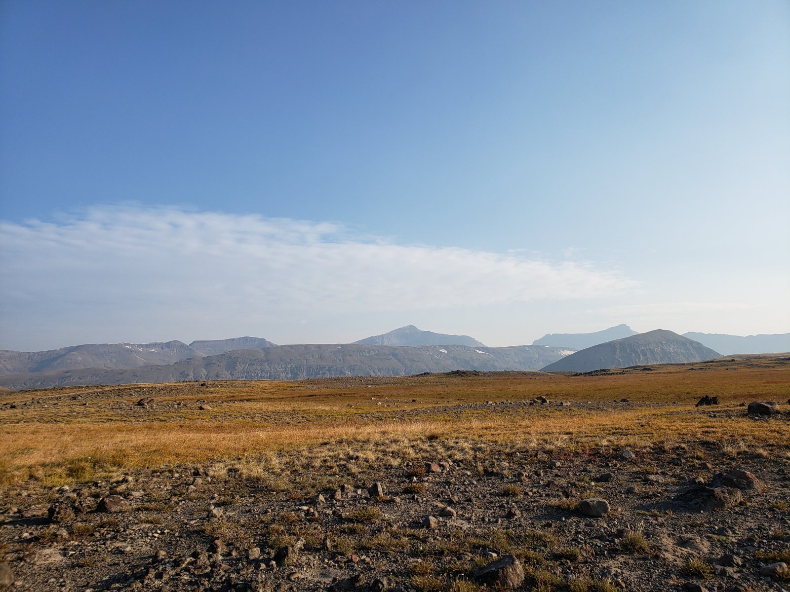
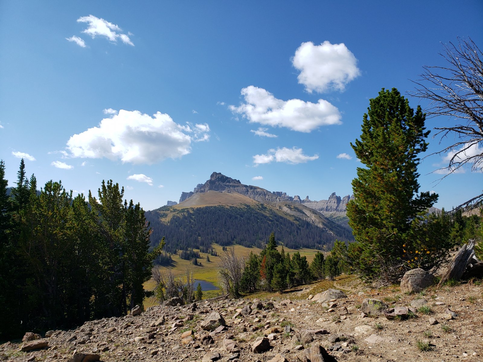
After our day of relaxation, we were ready to get up on the Continental Divide. Again smoke would hamper views a bit, but basically from here to the trailhead on Day 7 was just spectacular regardless.
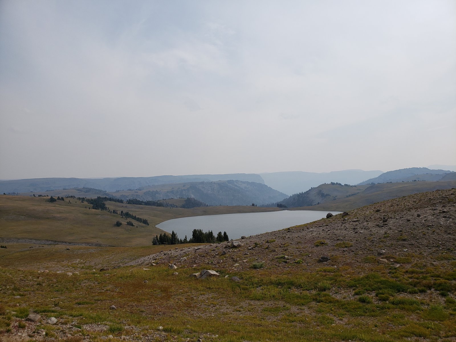
View of Tri-County Lake - Park, Fremont, and Teton being the namesake three counties.
Ferry Lake.
From just before Marston Pass we would diverge from the original plan and head up to and then south along the Divide. Originally we would have went north to Younts first, but after cutting short Day 4 and given my brother's condition at this point this was the right call.

Day 6: Upper Lost Creek to Perry N Boday Lake [12.11 mi]
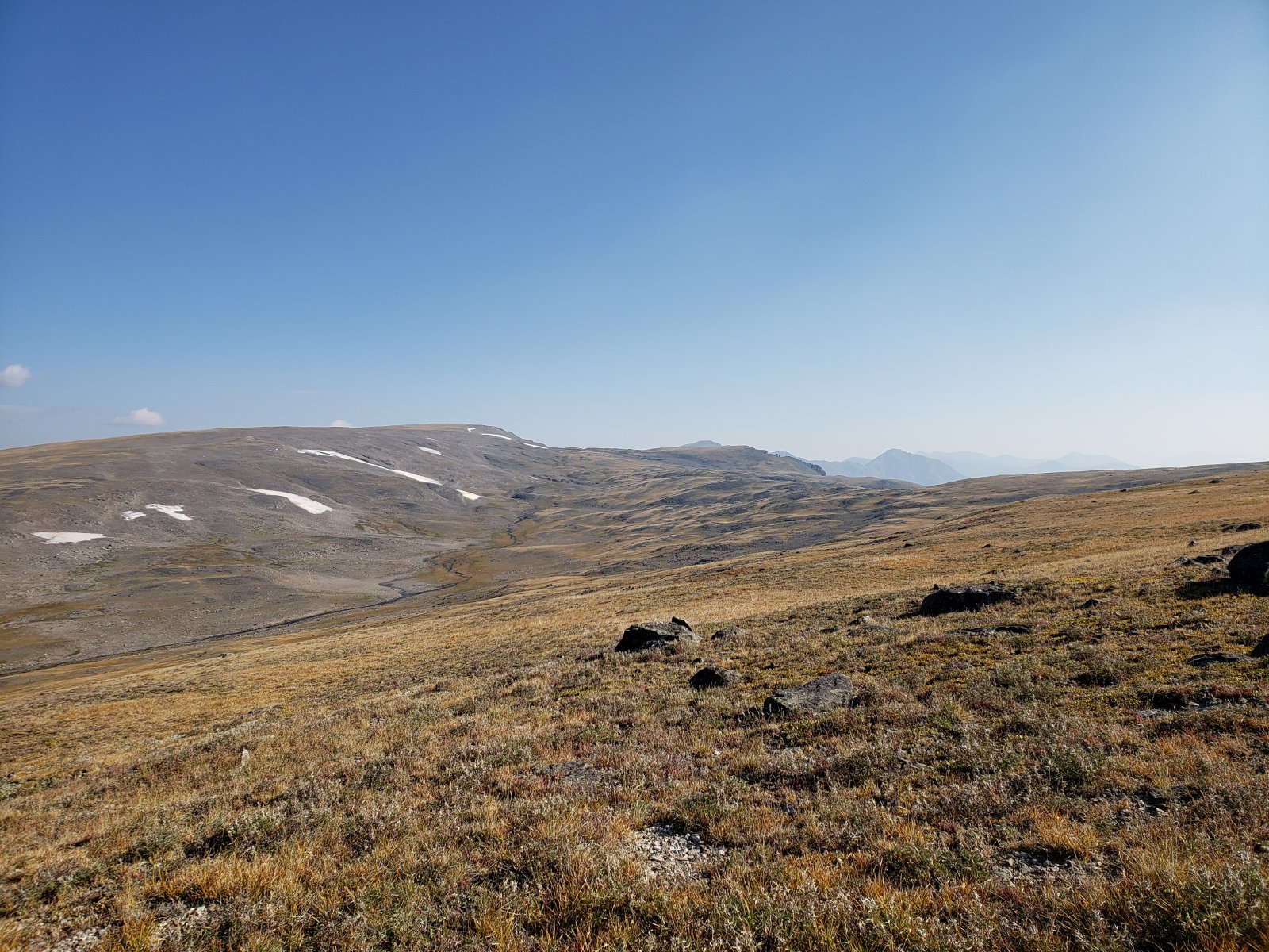
The morning of Day 6 brought us the coldest temperatures we'd seen yet - enough that I was eager to get moving and warm up a bit. This entire section was stunning and brought us by Wall Mountain and around Crescent Mountain - I'd have liked to go up/over Crescent, but will save that for the next trip out here.
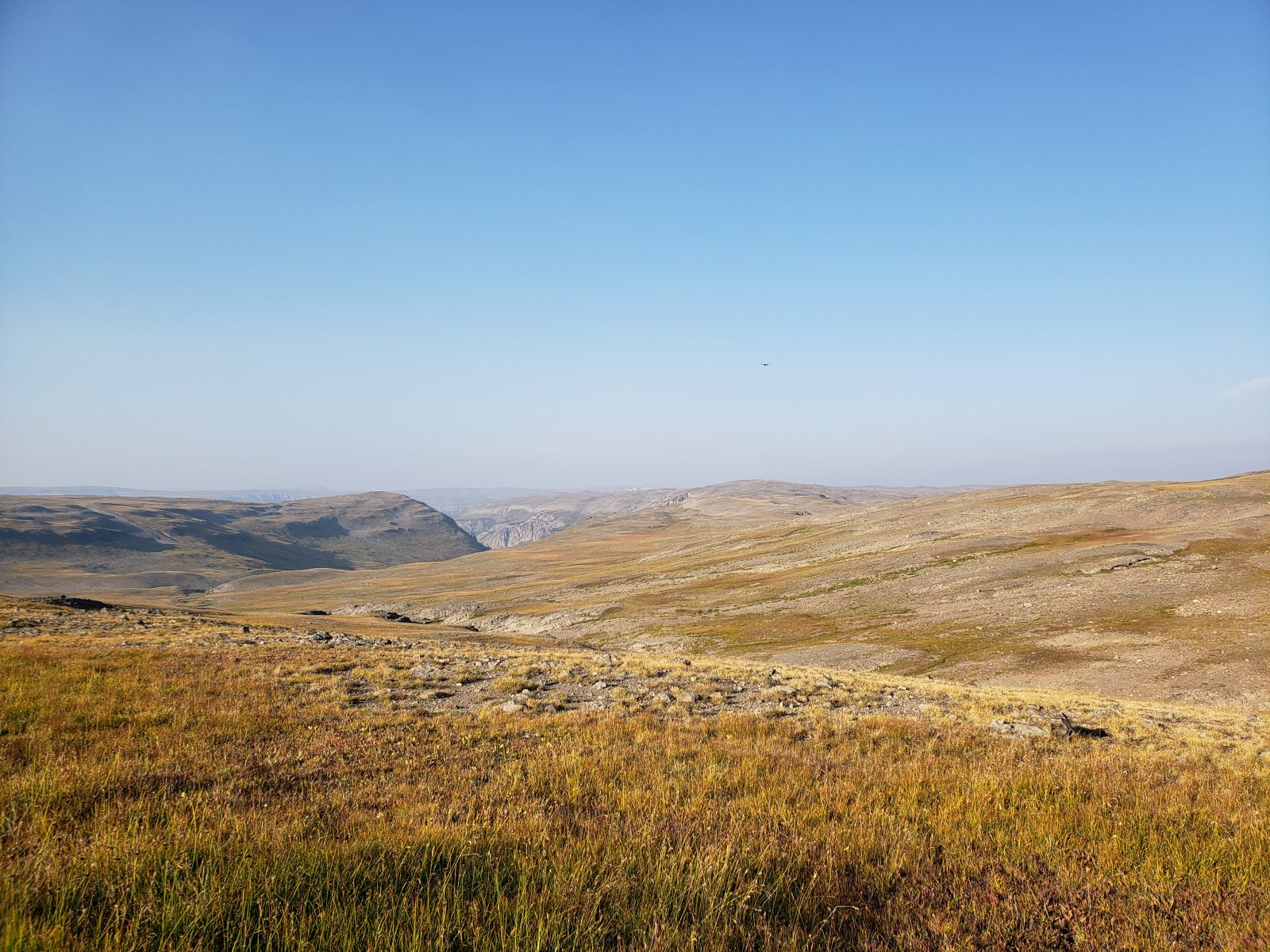
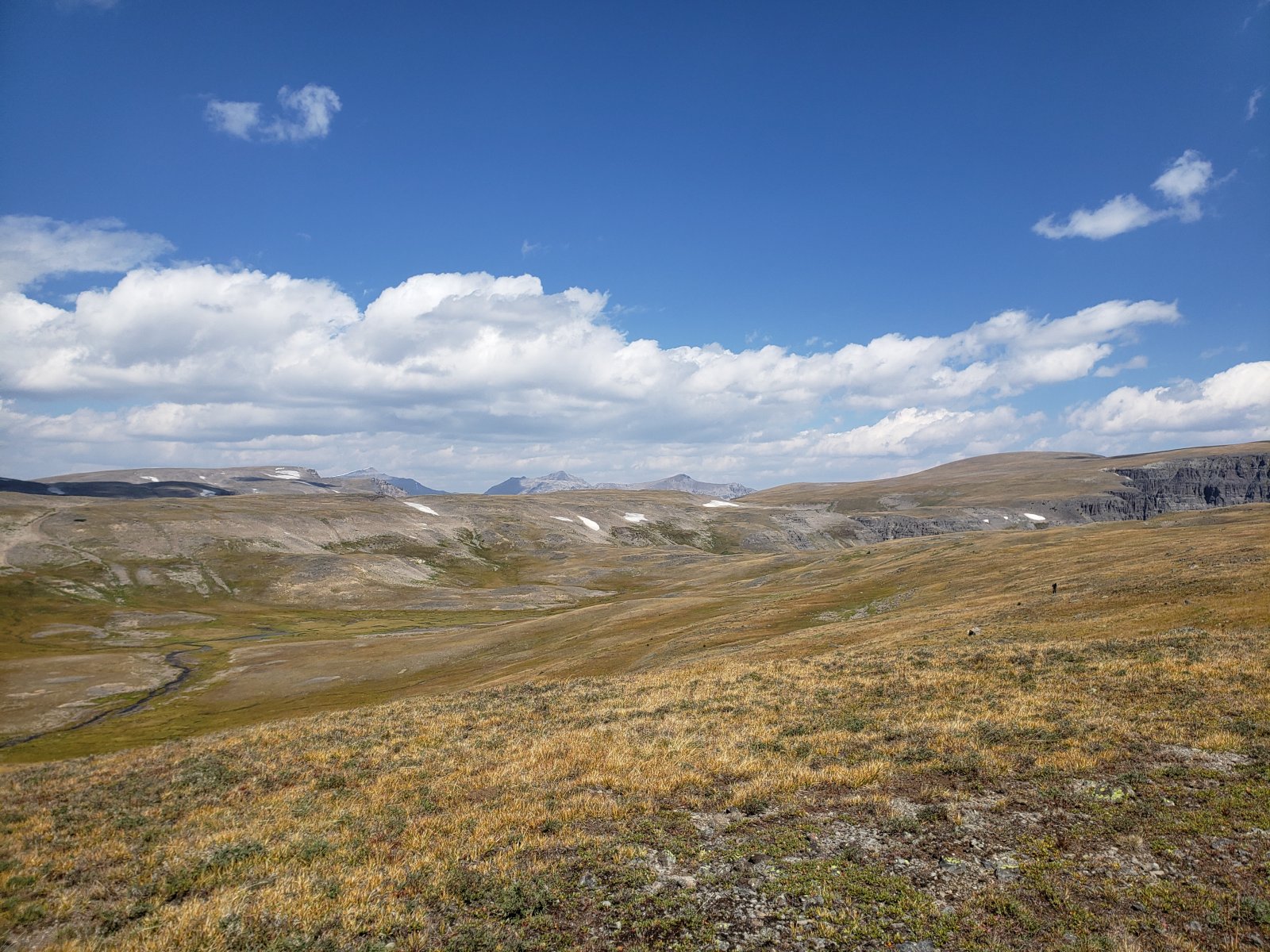
Looking out towards Buffalo Plateau.
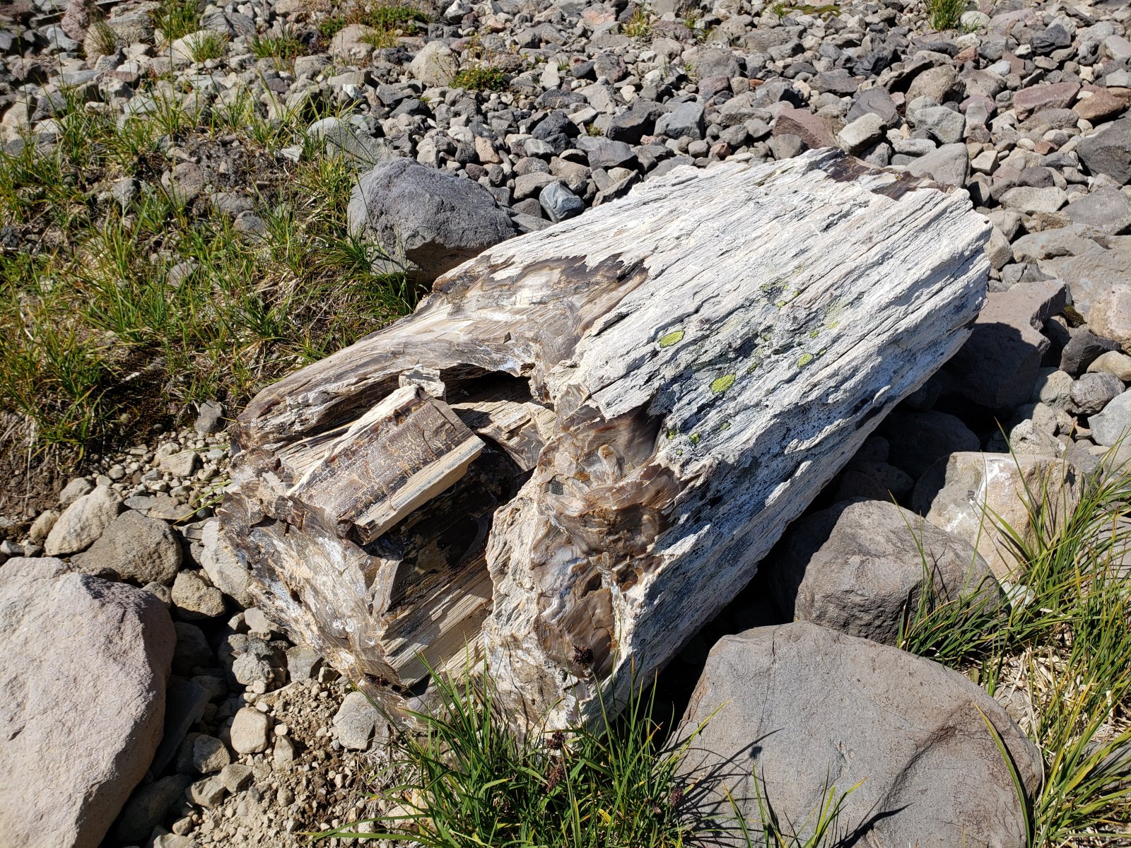
We found an enormous piece of petrified wood - we could trace it clearly up the hillside via smaller fragments to a sheer cliff. I did a little poking around for another large piece it could have separated from, but didn't have any luck.
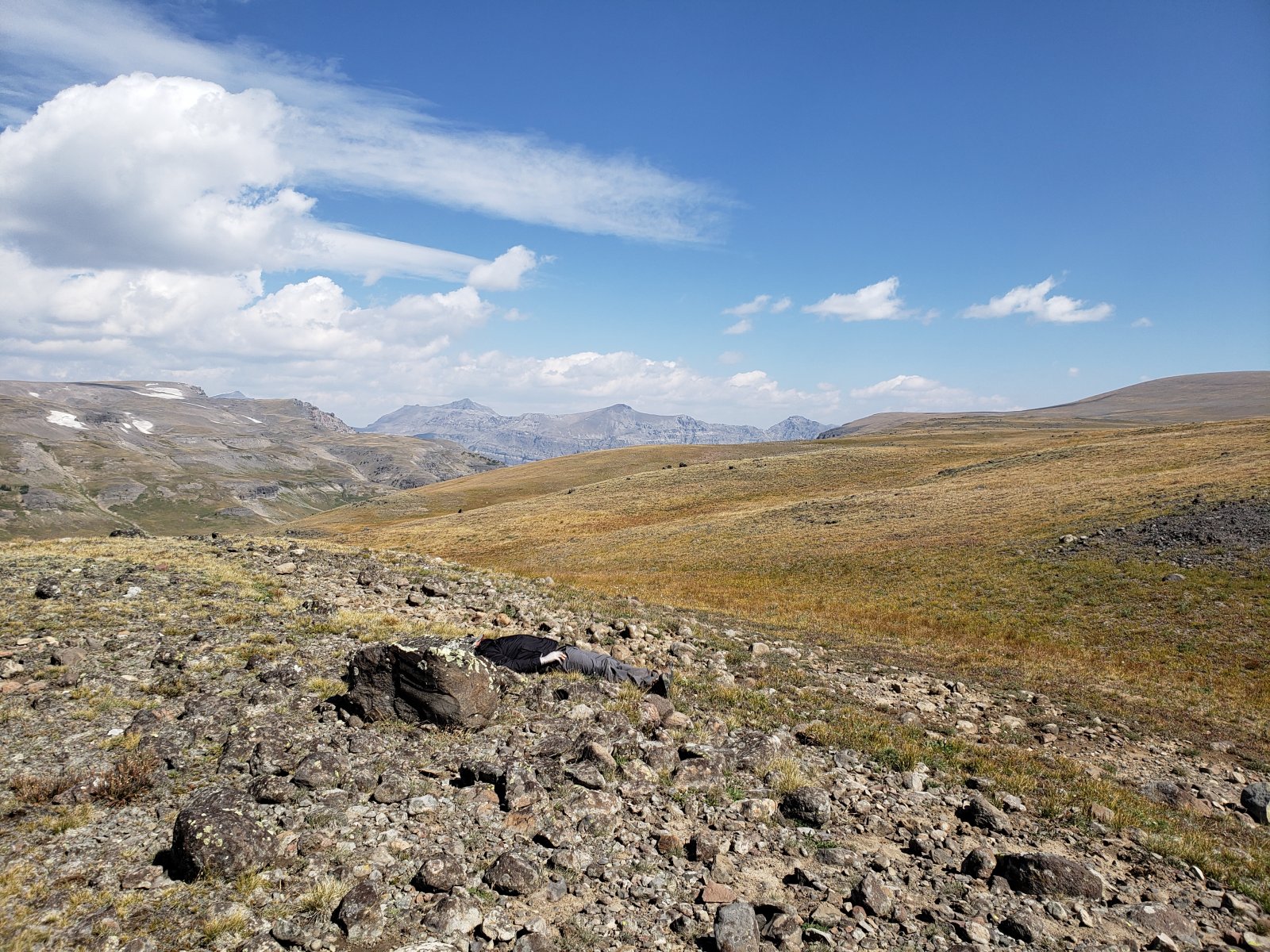
My brother taking a quick power nap at a crest in the Divide.
Day 7: Perry N Boday Lake to Brooks Lake [9.43 mi]
Even more than usual, my brother was eager for the post-trail meal today - after struggling to keep anything down the whole trip he was optimistic about some "real" food. (Turns out he was right thankfully.) The morning brought the first threatening clouds since our first night, but didn't end up dropping any rain - on us at least.
As we got closer to Brooks Lake, there were some pretty well-used unofficial trails running along the Divide and eventually down to Bonneville Pass.
We would end our trip with a short road walk through the campgrounds and day-use areas surrounding Brooks Lake before ending up back at my truck.
Overall, it was a fantastic trip and we are already discussing plans for next year. (Though hopefully my brother can figure out his nutrition situation...) I know I plan on getting back out there at least once for some unfinished business on Younts Peak, though that one may be solo.
Now to start packing for my Winds trip next week.
Comments
8 comments on BackcountryPost.com