Southern Absaroka & Thorofare Mountain (Teton/Washakie Wilderness) - July 2023
So after last year's trip to Younts Peak, I joined some friends in the Sierra Nevada and apparently couldn't shut up about the Absarokas - so they decided to join up with me this year for a trip. I drew up a route that looked pretty fun - much of it was territory I've covered before, but with a few extra wrinkles. My plan for the trip was to stay up high as much as possible, while still making the route into a loop. In July the conditions on top of the plateaus seem to be most ideal, but down in the trees can be pretty miserable. I thought this trip turned out pretty great, though there were a few interesting moments on Day 2 and I'm not sure I'd recommend this exact route. (And I definitely don't recommend climbing Thorofare Mountain - but more on that later.)
Day 1: Brooks Lake to South Buffalo Fork
I've done the exact same approach for three years straight, so this day was mostly pretty familiar. We had beautiful conditions - which would thankfully continue throughout the trip. The trail up to Bonneville Pass is pretty innocuous, but as soon as you leave the FS trail and head up to the Divide the route is spectacular. Unlike previous years, this time we headed west across the plateau right before hitting Perry N Boday Lake. Our plan was to camp up on the plateau away from any bug pressure - while the bugs down low were far from the worst I've seen, this still seemed prudent.
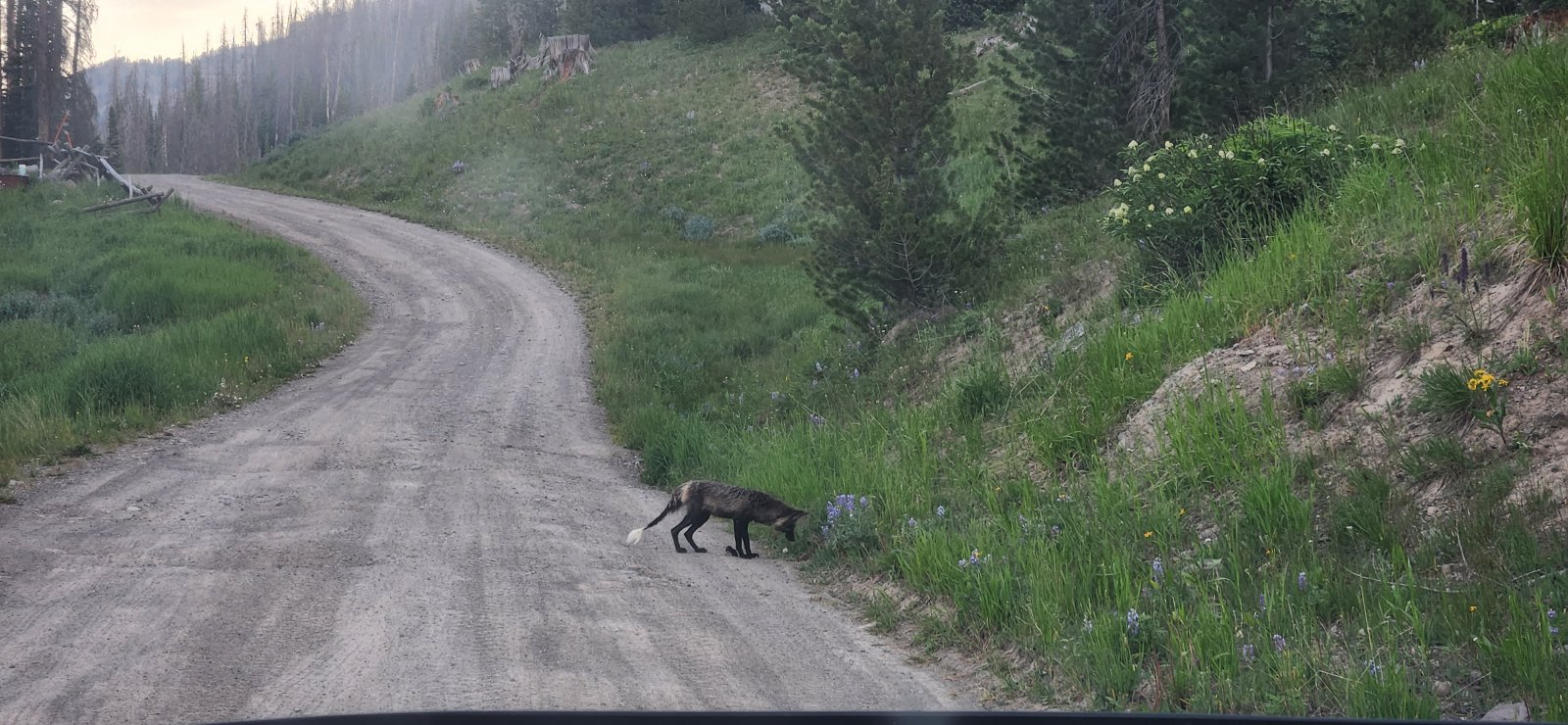
Spotted a fox snacking on a small family of rodents on my drive in. He grabbed at least three while I watched.
Bonneville Pass - as beautiful as ever.
On our way up.
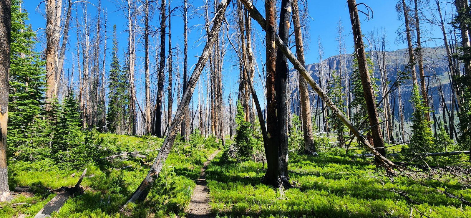
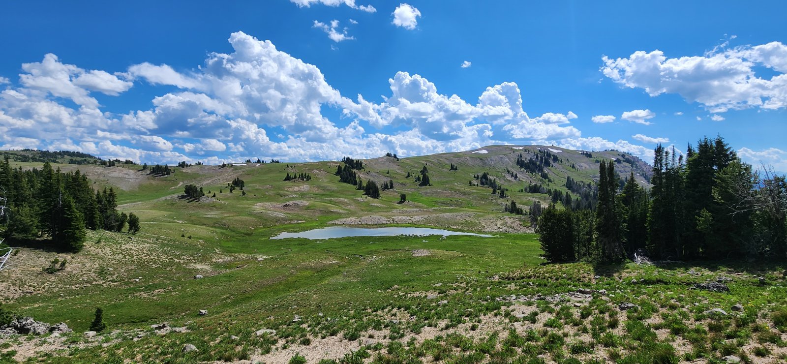
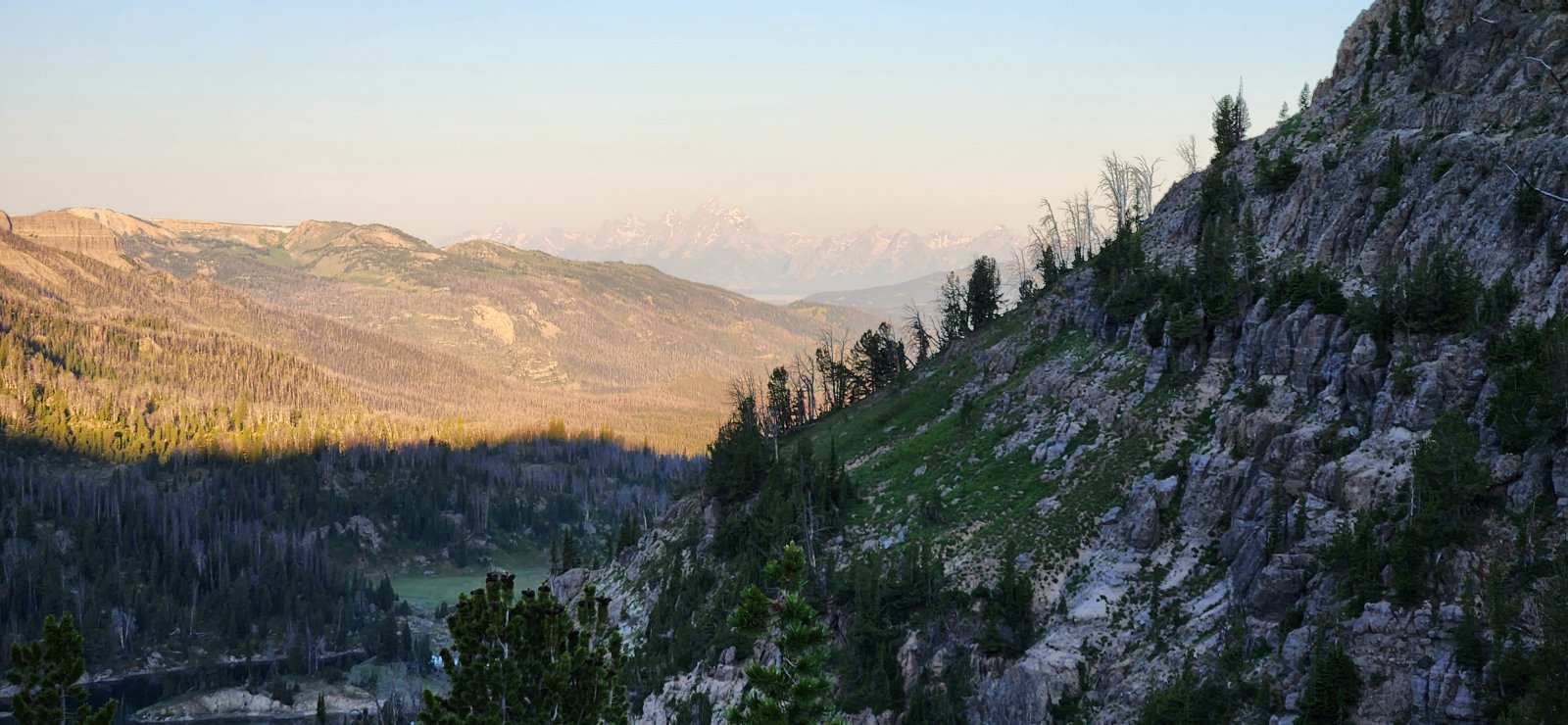
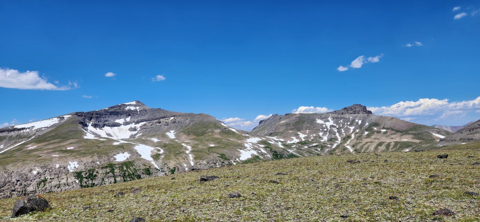
One of my favorite sections - despite being right at the beginning.
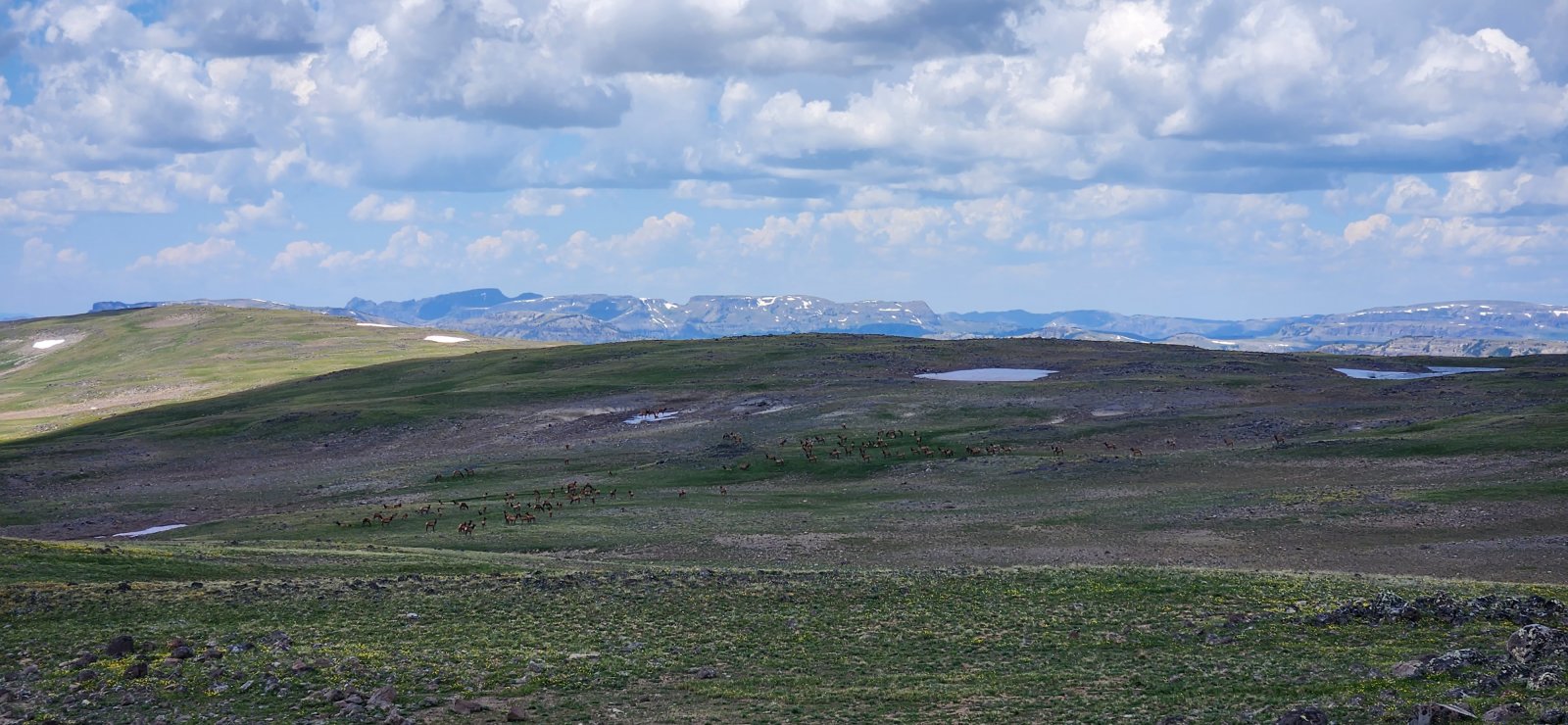
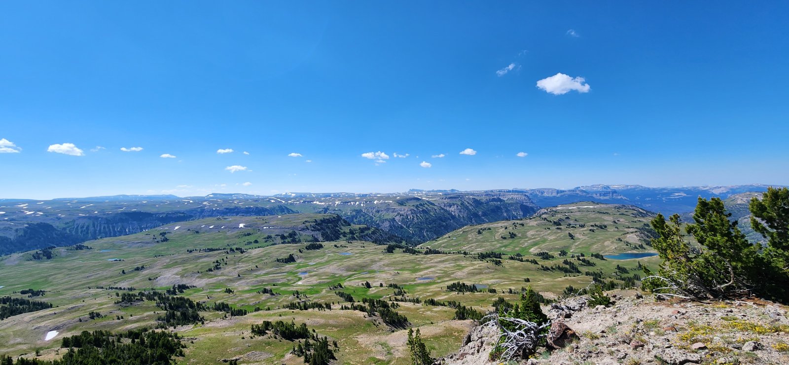
Huge herd of elk in the distance up on the plateau.
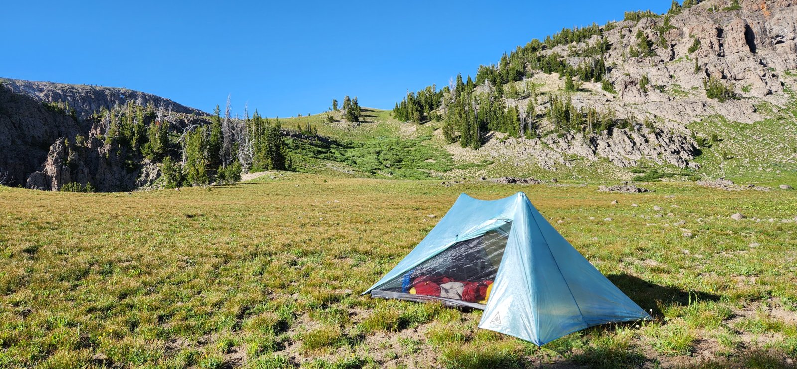
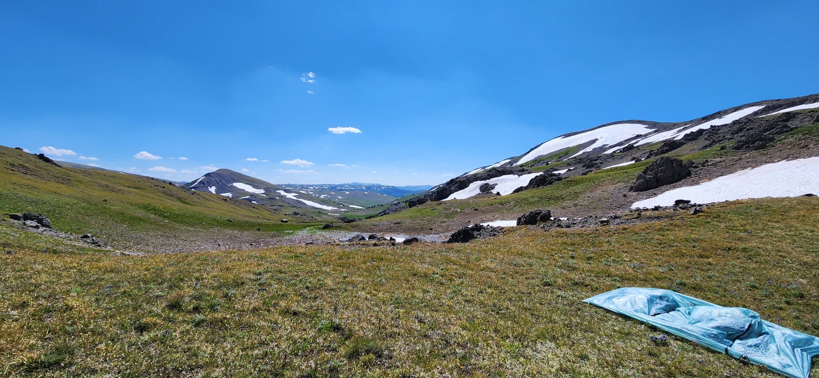
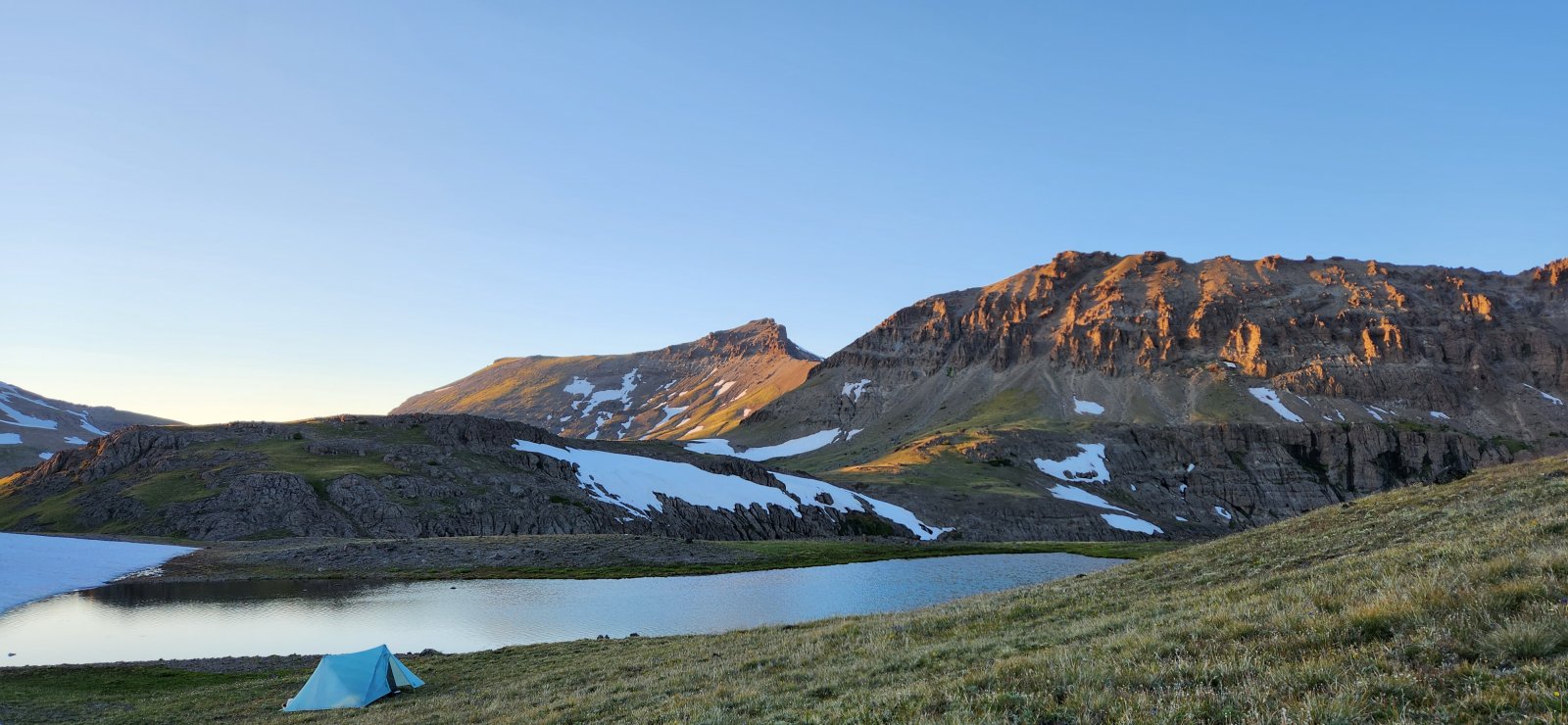
Camp for the night.
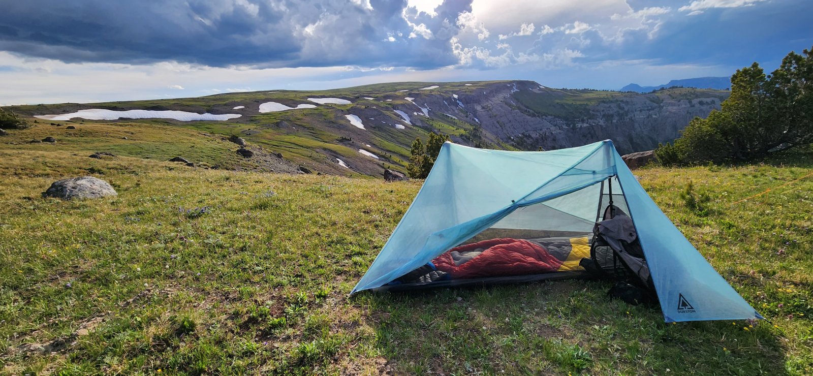
View from camp.
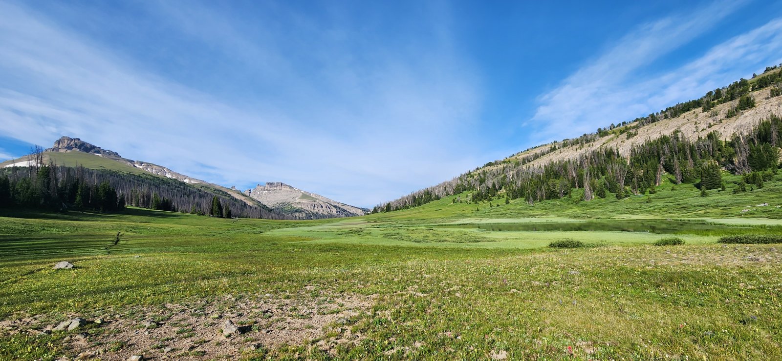
Day 2: South Buffalo Fork to Crater Lake
Today would be an interesting day - it was our lowest elevation day, but definitely the crux of our trip. Part of our plan was to keep the route as high as possible, but in an attempt to make a loop we would need to drop down from the plateau and cross the South Buffalo Fork. I had pretty minimal beta on the off-trail sections, but everything went pretty well - even if it wasn't always the "easiest" way. We followed a bit of an outfitter trail down sections of the drainage down - with some fantastic cliffside views. The trail sections were very tame, but quite hot in the burned areas. Eventually we would climb back up onto the plateau and camp above Crater Lake.
Looking at much of our route for the day.
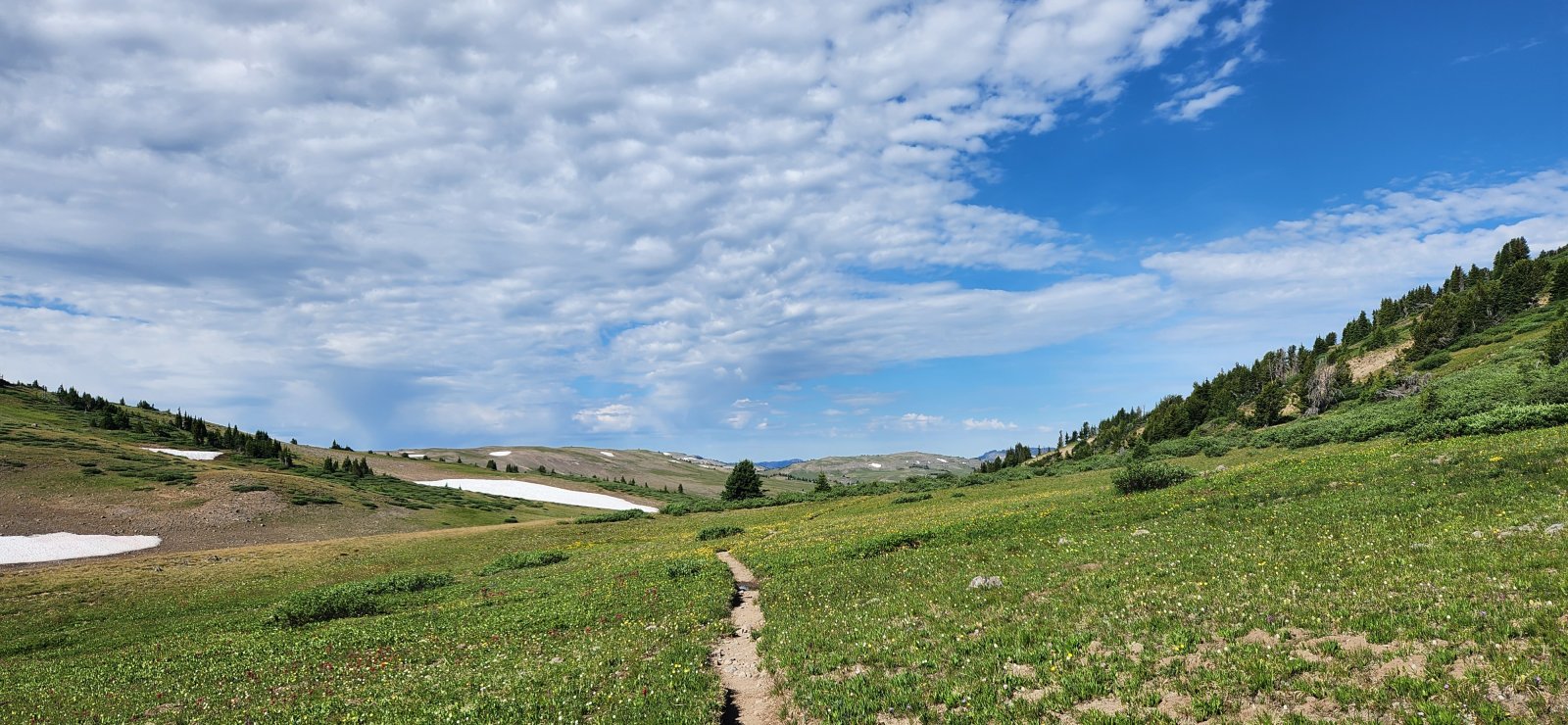
Trail!
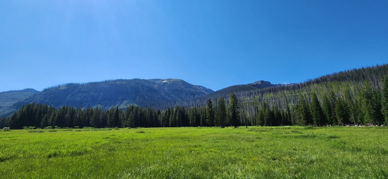
Love a good meadow.
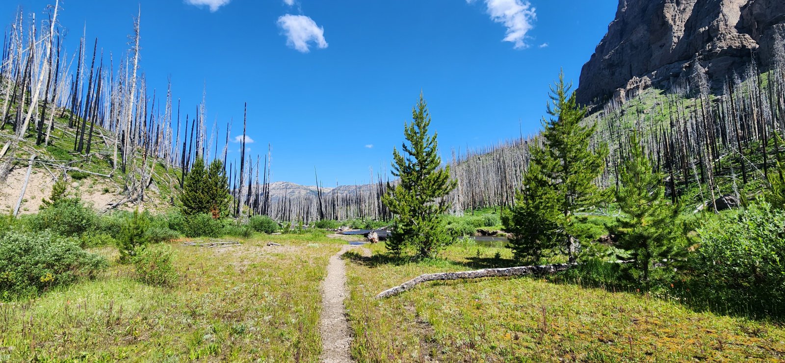
Pretty warm through here - relished the water crossings.
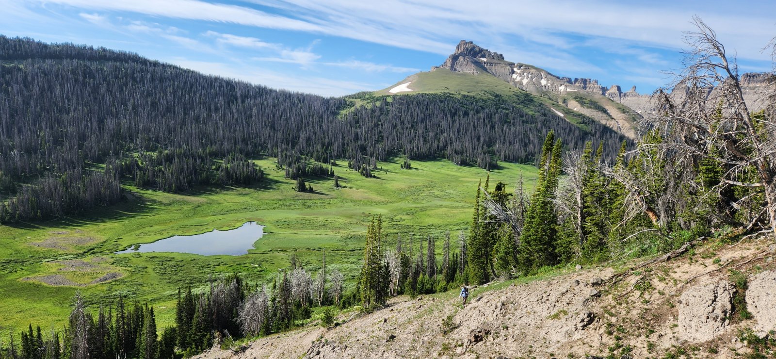
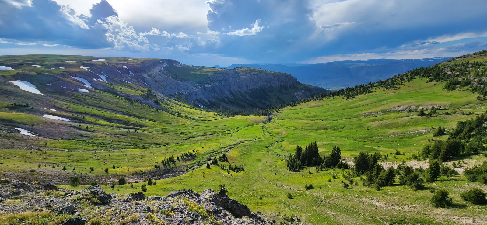
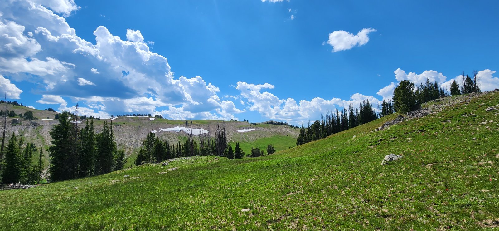
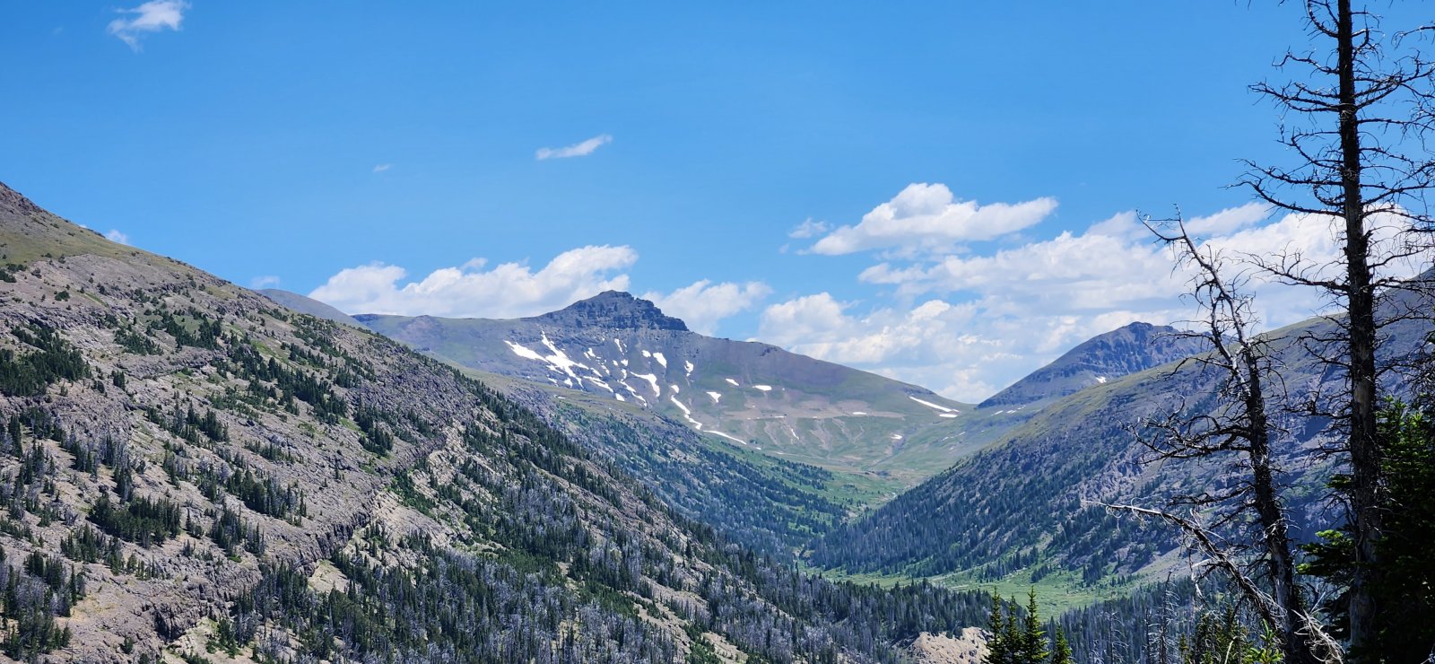
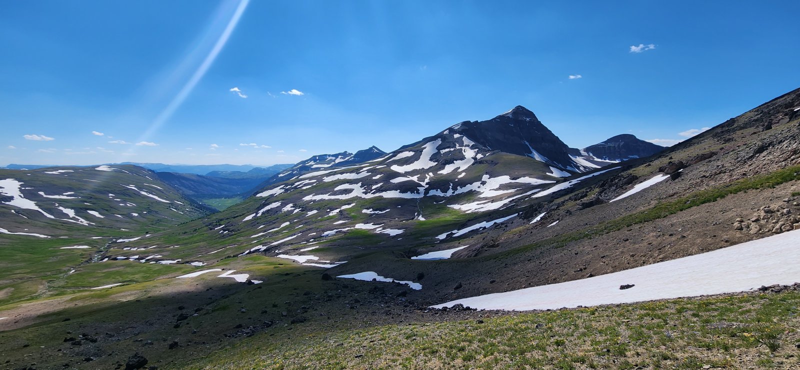
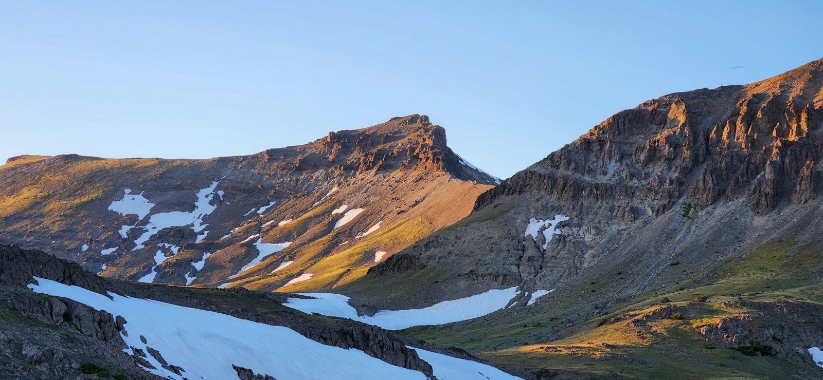
The route up onto the next plateau was relatively steep and had lots of downfall - but upon reaching the upper section it was spectacular.
Looking back.
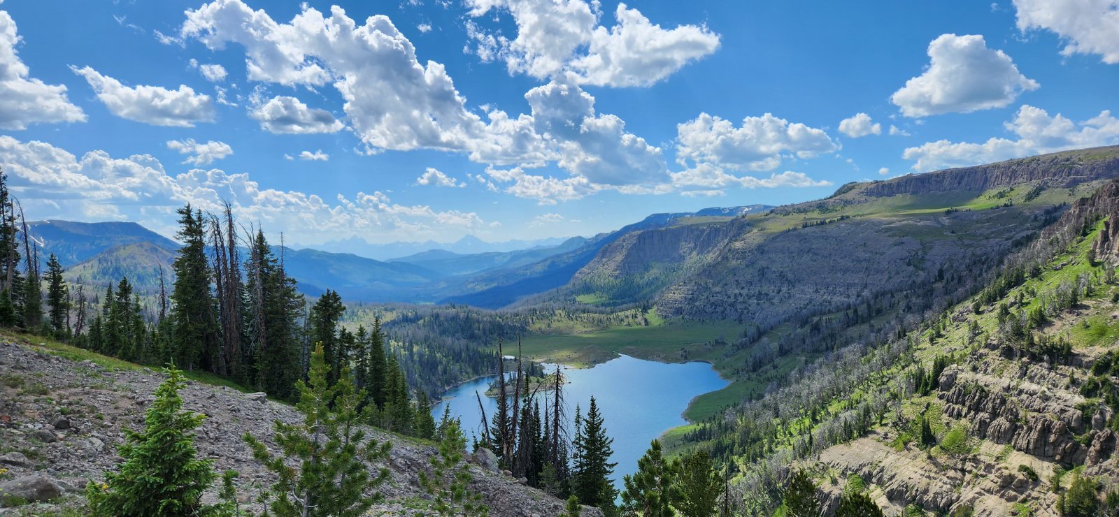
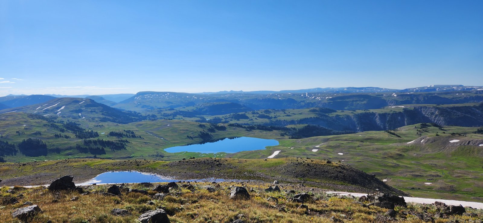
Crater Lake with the Tetons in the distance.
Camp for the night.
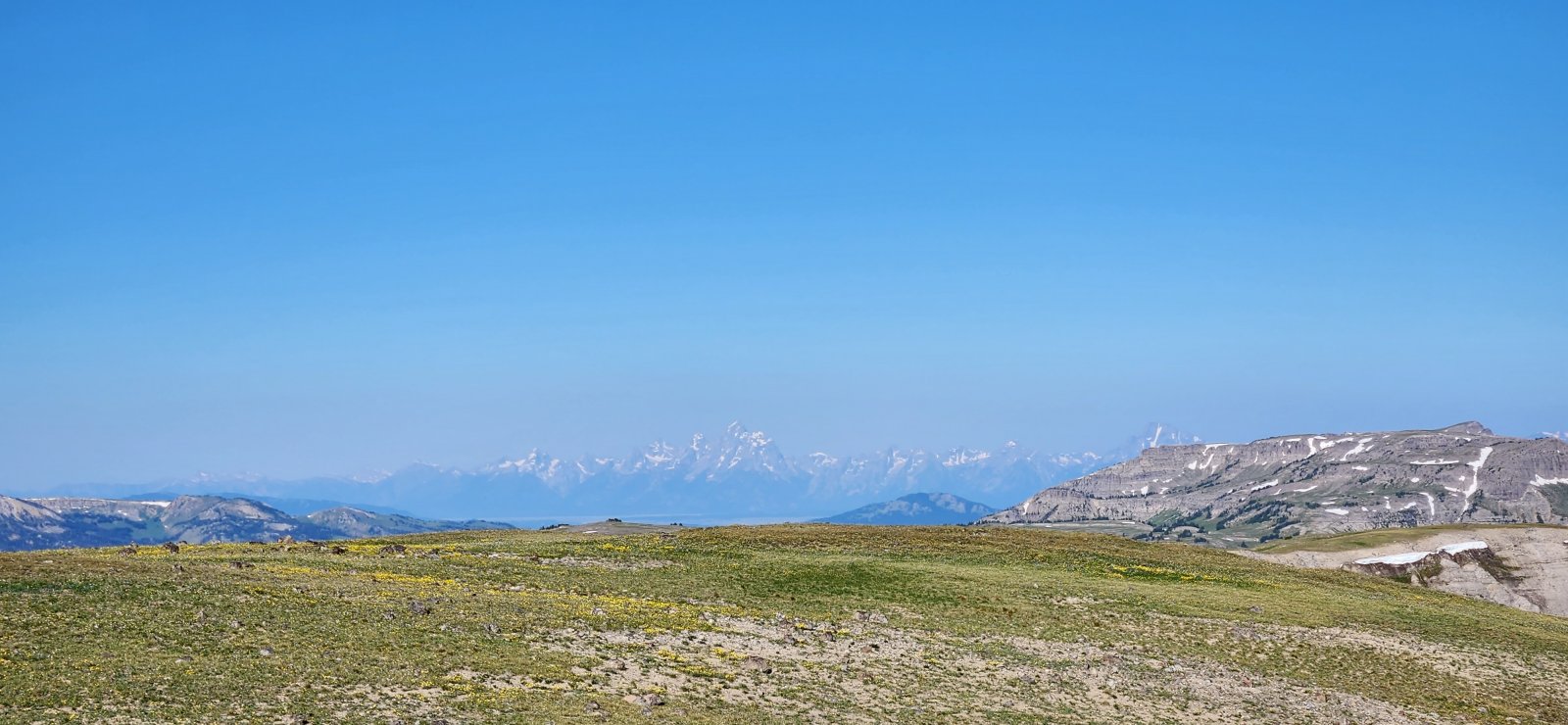
Closer view of the Tetons.
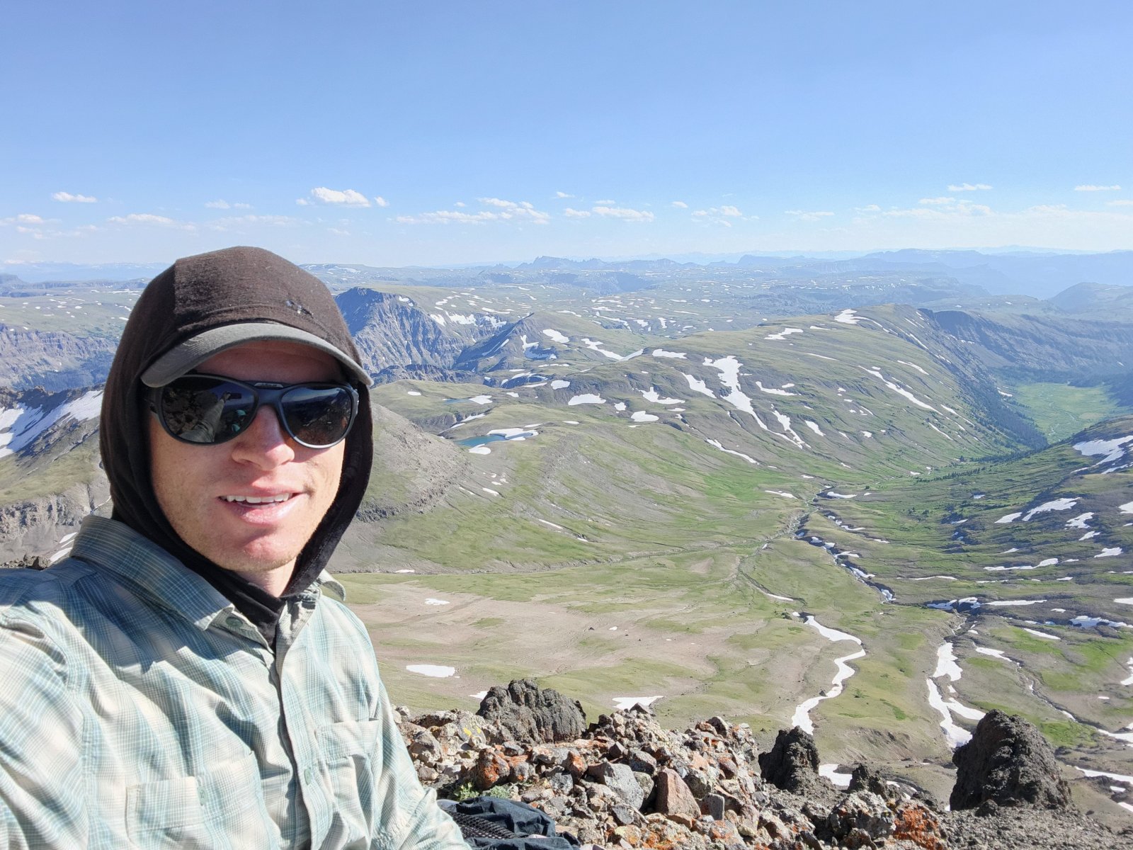
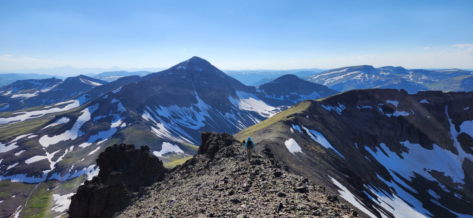
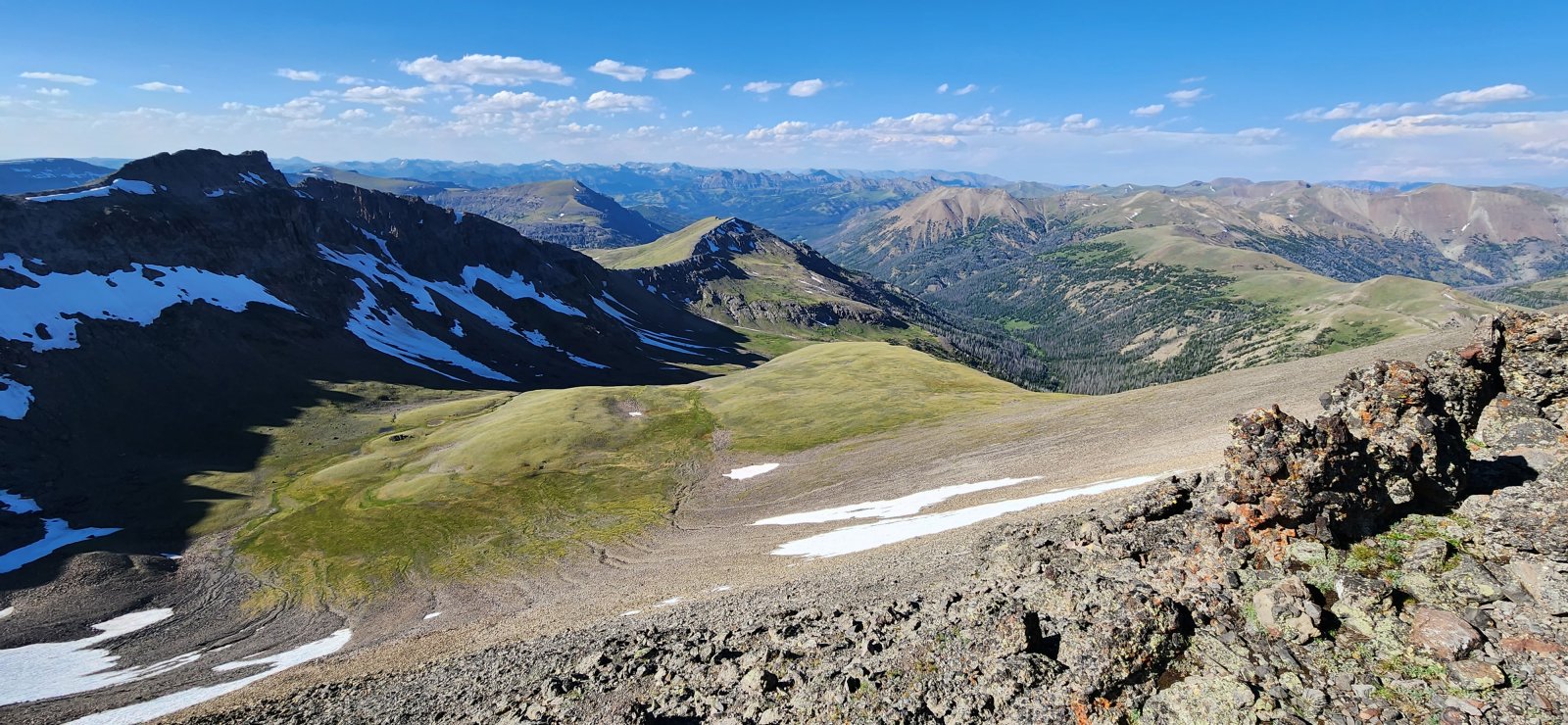
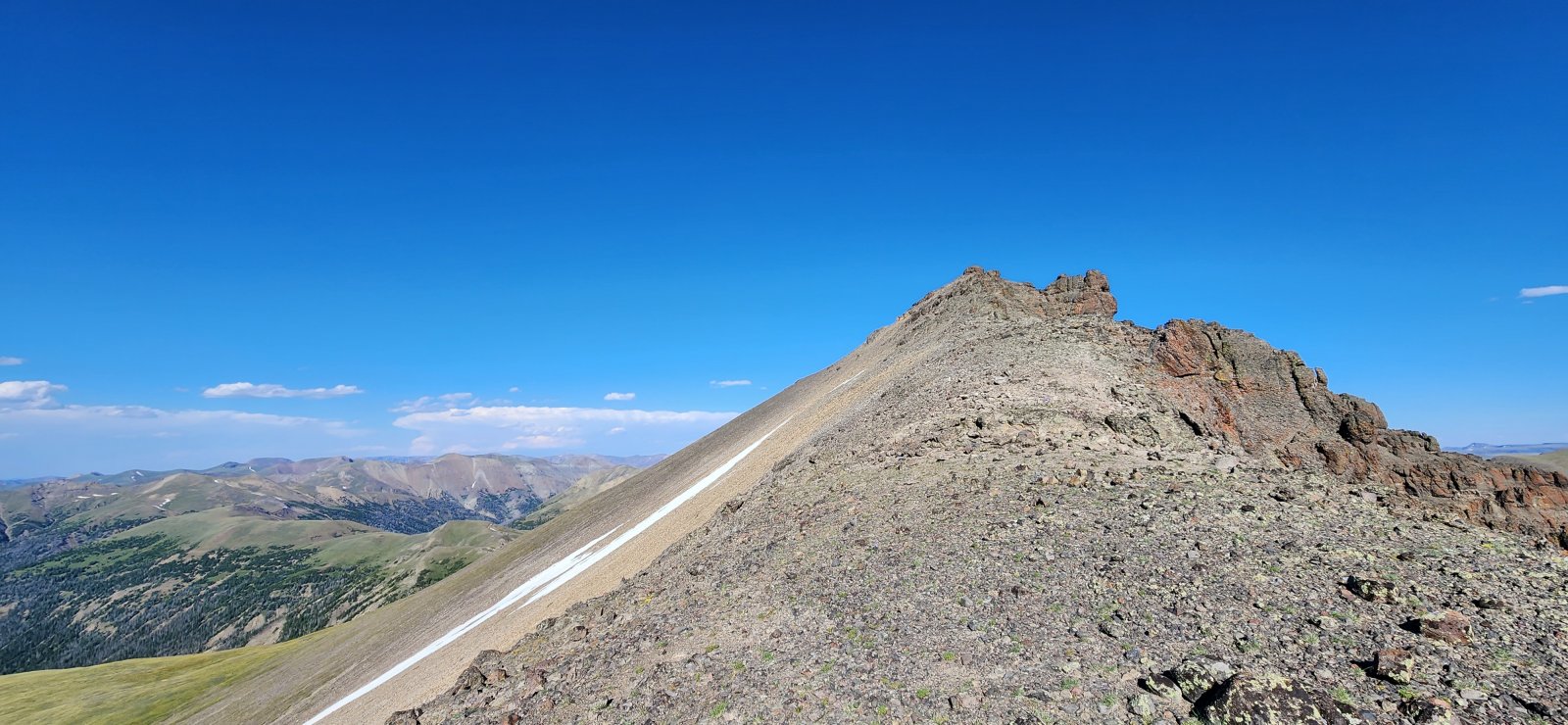
Day 3: Crater Lake to Marston Pass (and Thorofare Mountain)
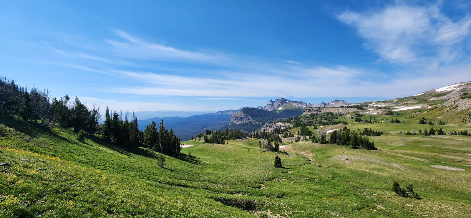
Today is the day I was looking forward to most - I'd previously been through this section, but stayed down lower on the trails. On this trip we would follow the Divide directly - including the ridgeline between the South Fork of the Yellowstone and Lost Creek. Excellent views all day - absolutely loved it.
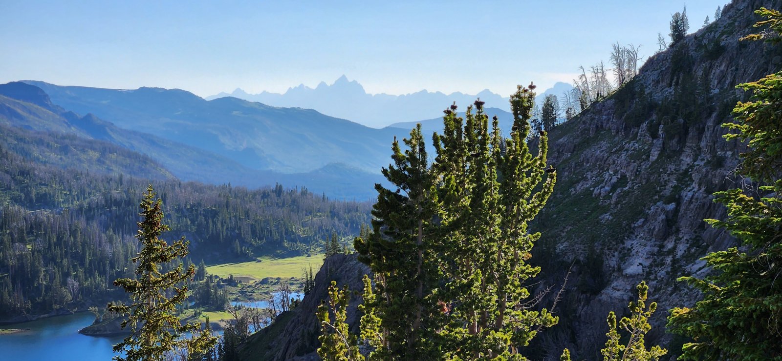
One more look at the Tetons in the AM.
Ferry Lake from the Divide.
Can't escape the Tetons - not that I wanted to.
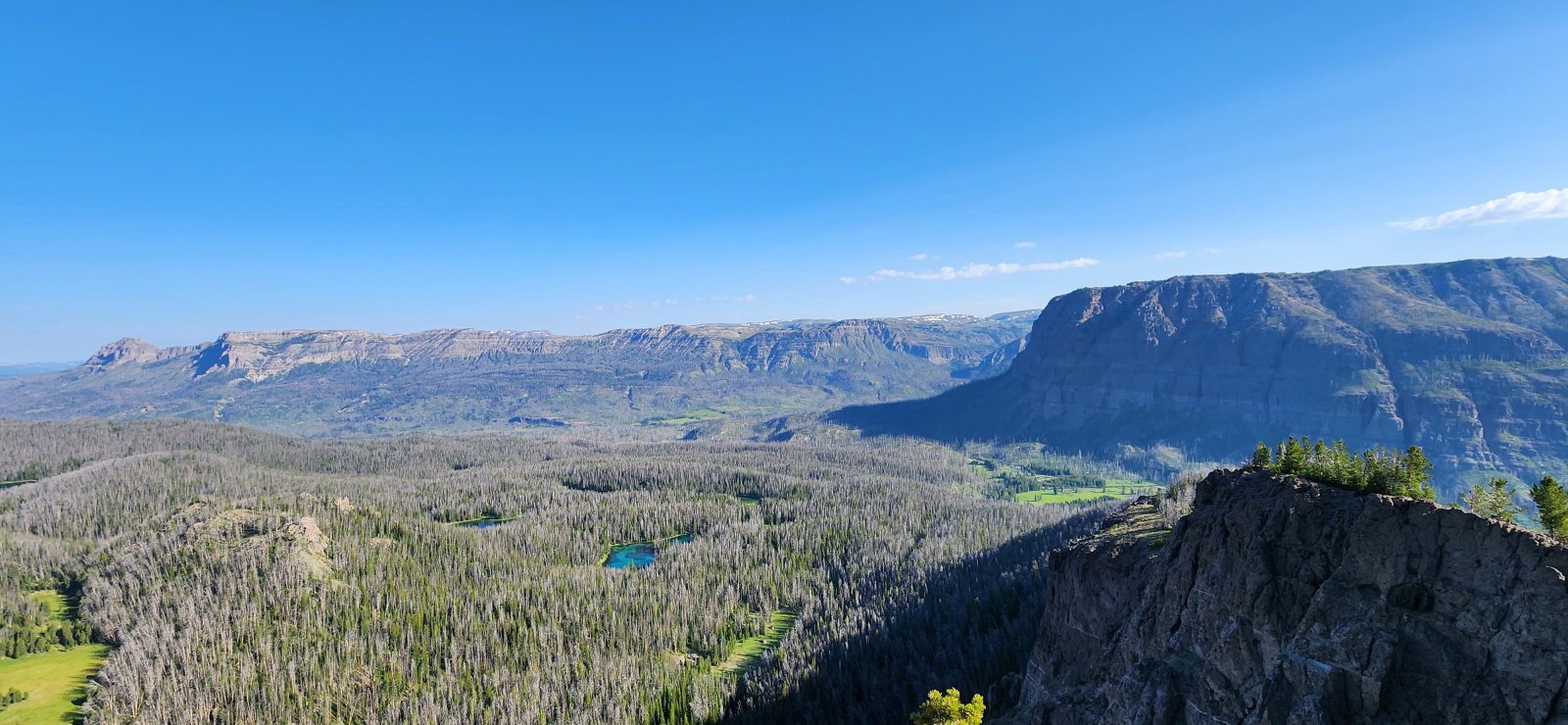
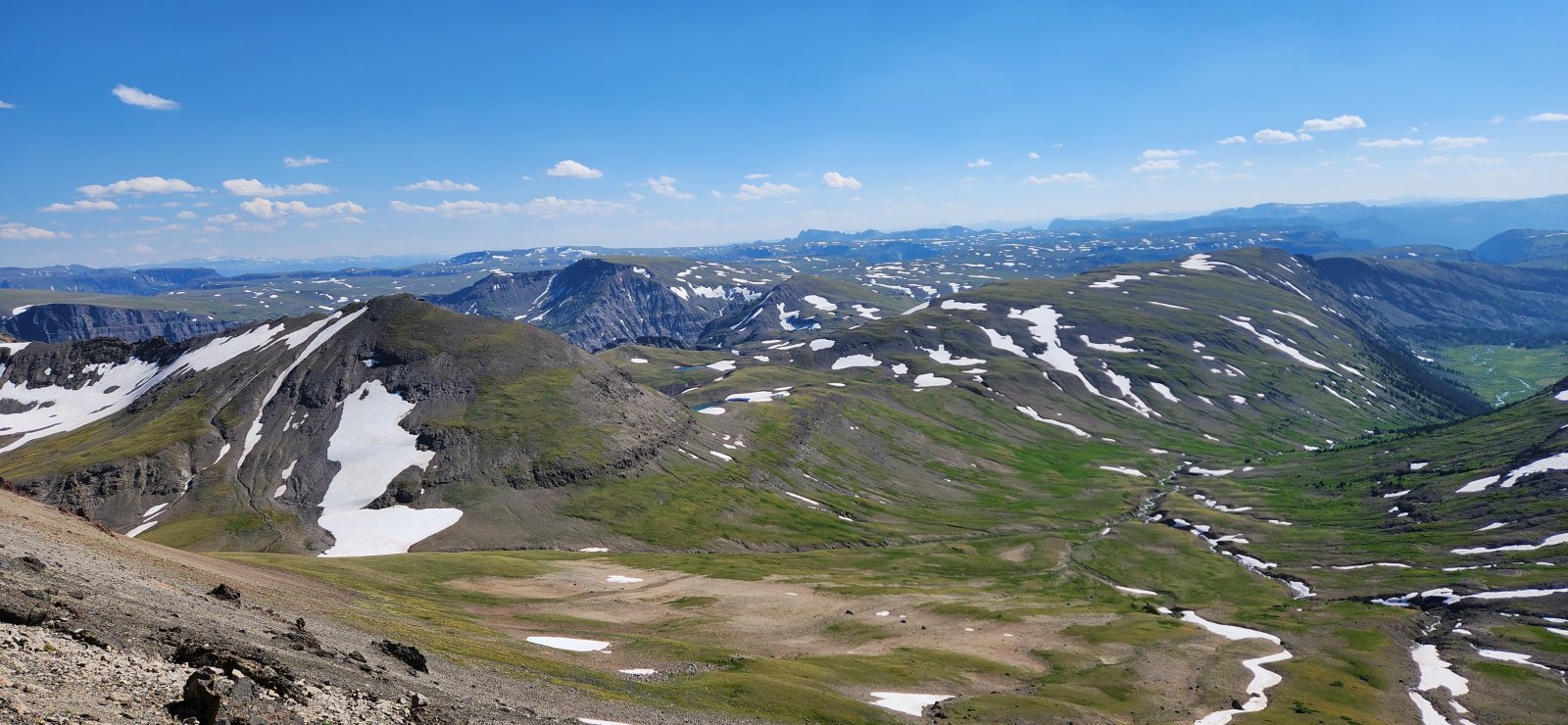
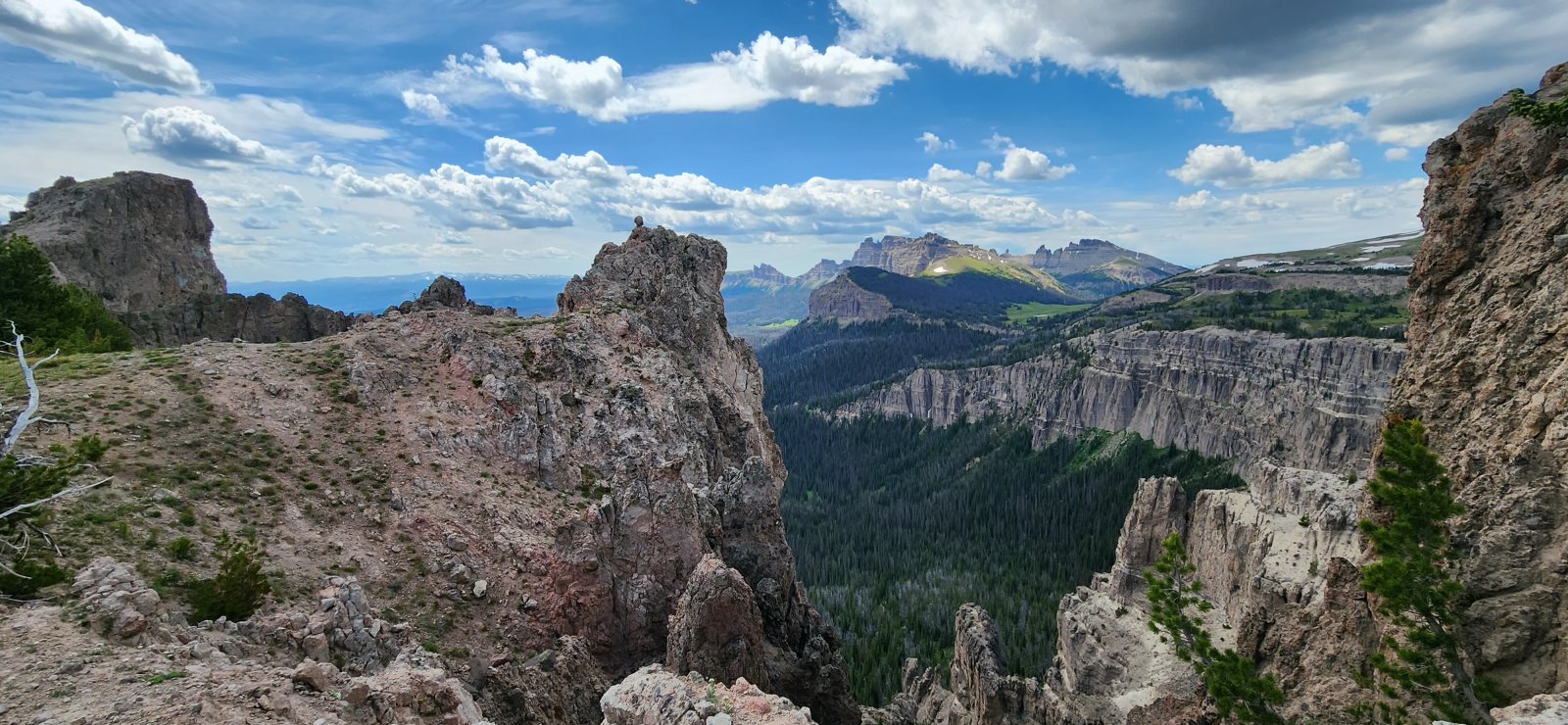
First good look at the South Fork of the Yellowstone - much of our route for the day followed the edge of this canyon.
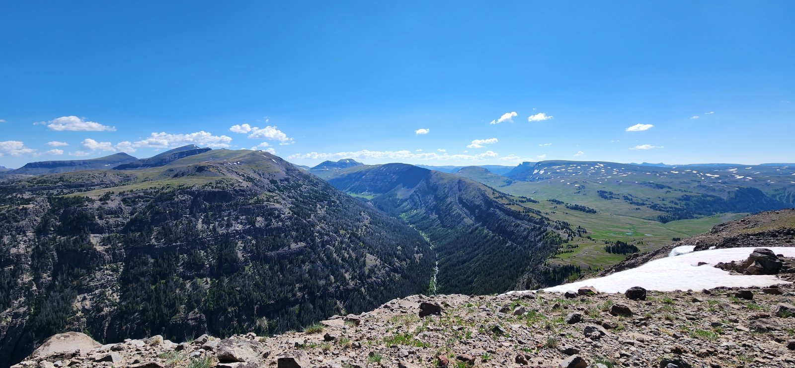
Expansive views continue.
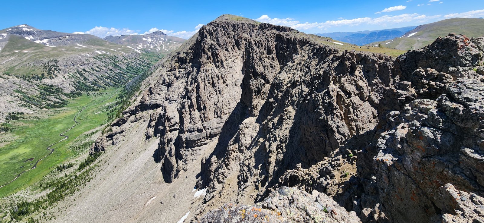
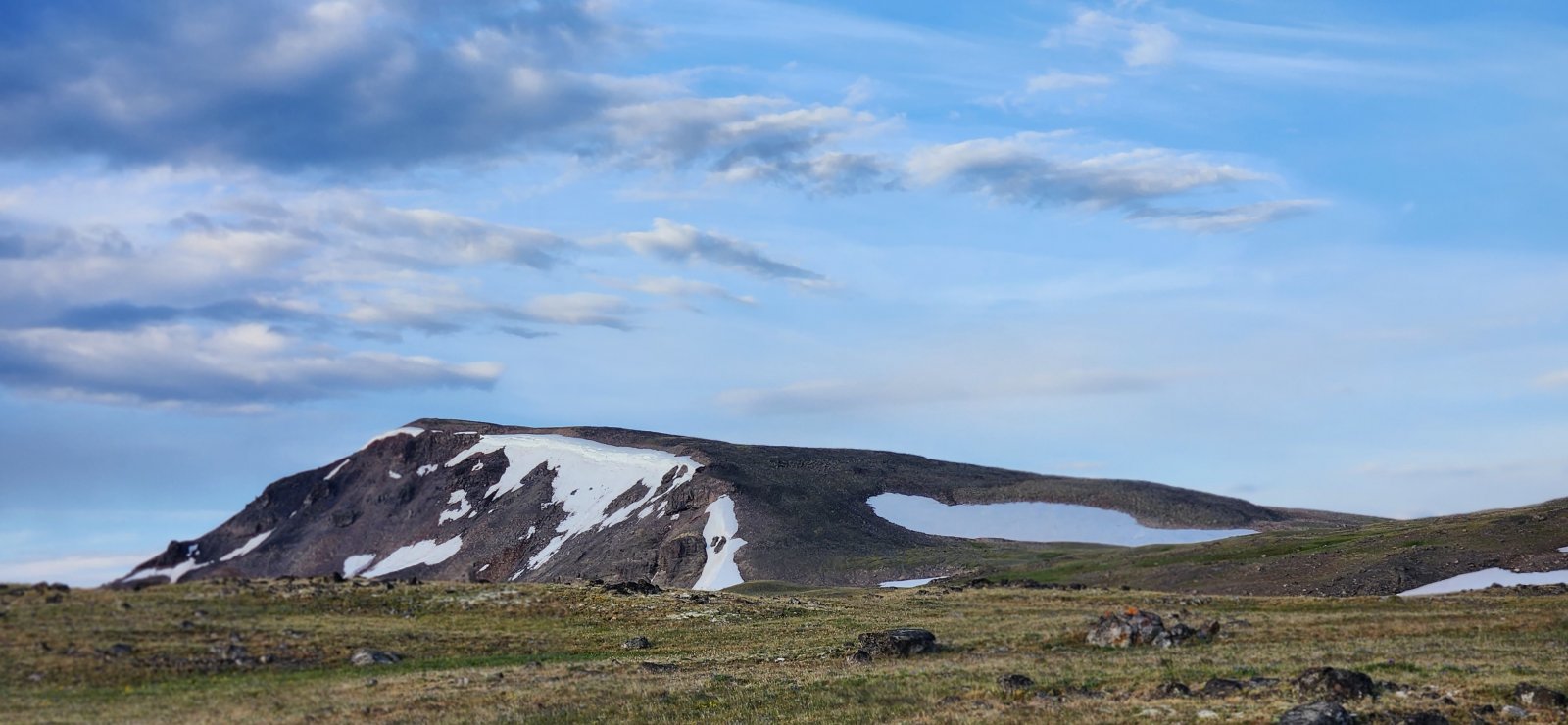
Thorofare Mountain.
Very large section of old rockfall made for very dramatic relief.
Younts Peak.
Younts Peak and Thorofare Mountain.
We setup camp at about the same place I did last year before climbing Younts Peak. Beautiful spot, if a little windy.
So a couple caveats before discussing Thorofare Mountain: 1) we did not climb it the "right way"; and 2) I don't really recommend it, even if you do it the "right" way. Younts Peak is a much better climb w/ the same (or better) "bang for your buck". Thorofare is a pile of crumbly rock all the way up - even the grassy slopes to the west are not much fun. That said, me and the one member of our group dumb enough to follow me gave it a shot and had a great time. But seriously - just climb Younts.
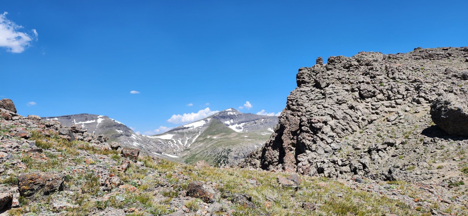
Views of Younts on our way up.
We're committed now, right?
So... we didn't technically make the summit. Stopped about 50' shy, because it was just too sketchy. But the views were fantastic nonetheless.
The upper ridge was definitely the easiest part.
Thorofare Creek drainage.
Looking back up the ridge.
Home, sweet home.
Thorofare Mountain from camp.
Day 4: Marston Pass to Lake 10,445'
So pretty much the next two days are the same route that I've followed the last two years (and wrote trip reports for), so I'll keep this pretty brief. But Day 4 did bring our only two grizzly sightings of the trip! One early and the second at our camp for the evening.
On trail very briefly to start the day.
Can you spot the grizzly? (Right in the middle.) I spotted him thanks to a coyote and group of ravens that appeared to be following him in hopes of a "free" meal. For a few minutes I thought we might be stumbling across a carcass, but other than the grouping there was no other evidence of such. He was at a nice distance, so we just watched him for a bit before he wandered out of sight.
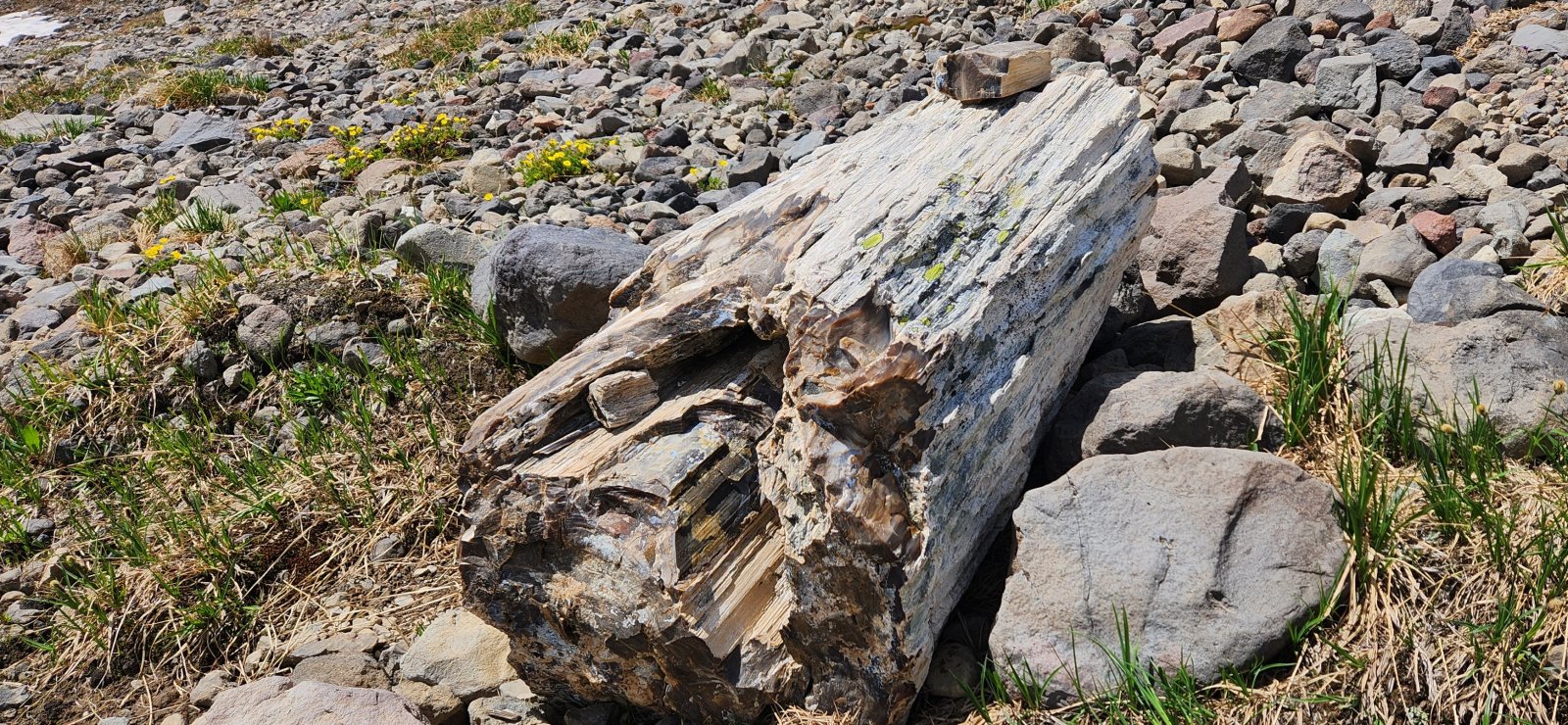
Large piece of petrified wood.
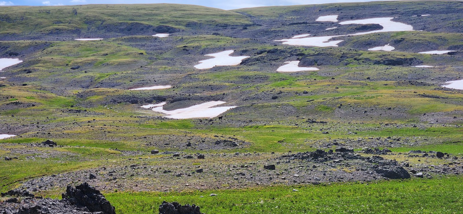
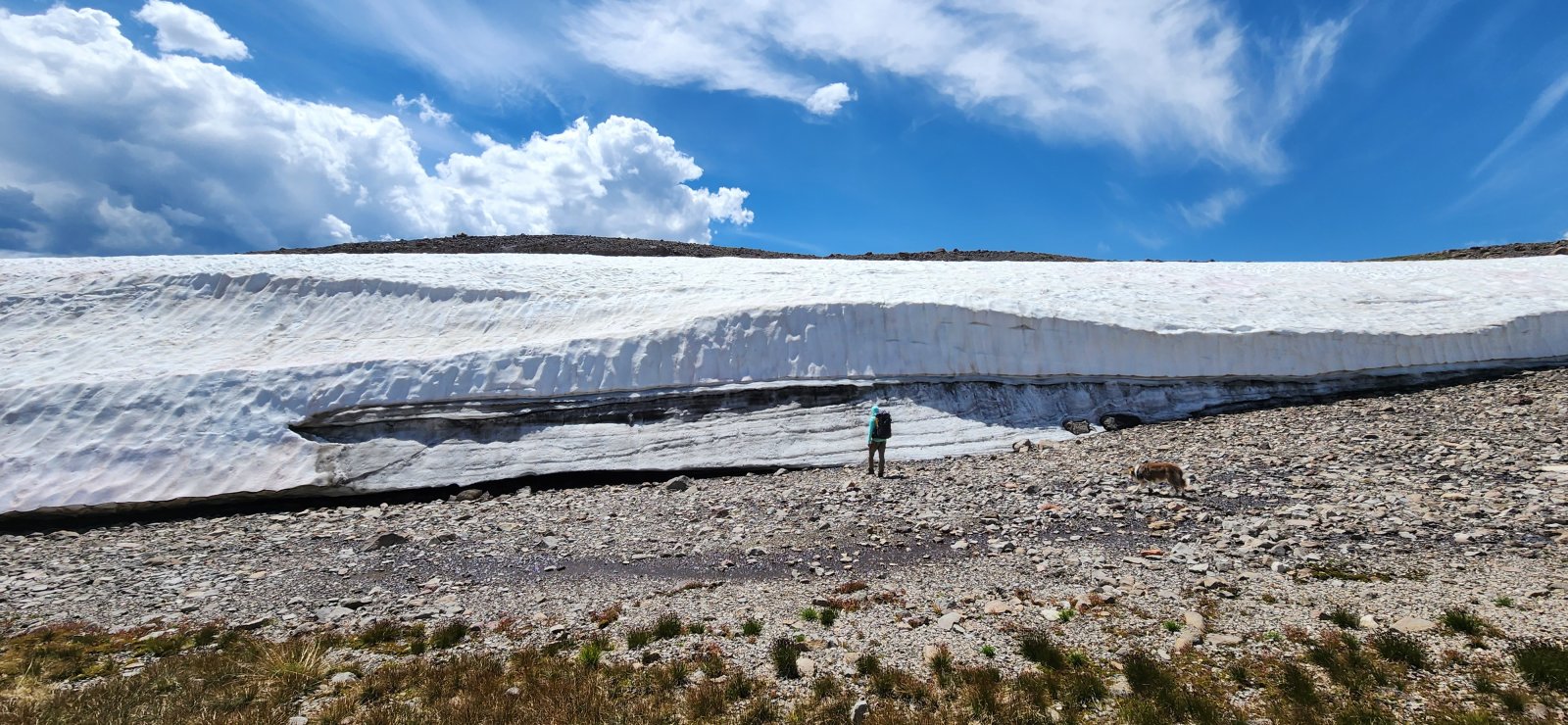
The plateaus were significantly drier/melted than last year's July trip, but this section is always reliable.
Camp! Beautiful spot I've looked at staying a few times before, but really glad I did this time. Also the location of my second bear sighting (no pictures, sorry). Right as I walked up to our camp location I spotted a grizzly by the nearby stream - he took one look at me and bolted. I was able to watch him clear the next ridgeline, too. He wanted to be near me far less than I wanted to be near him. 😂
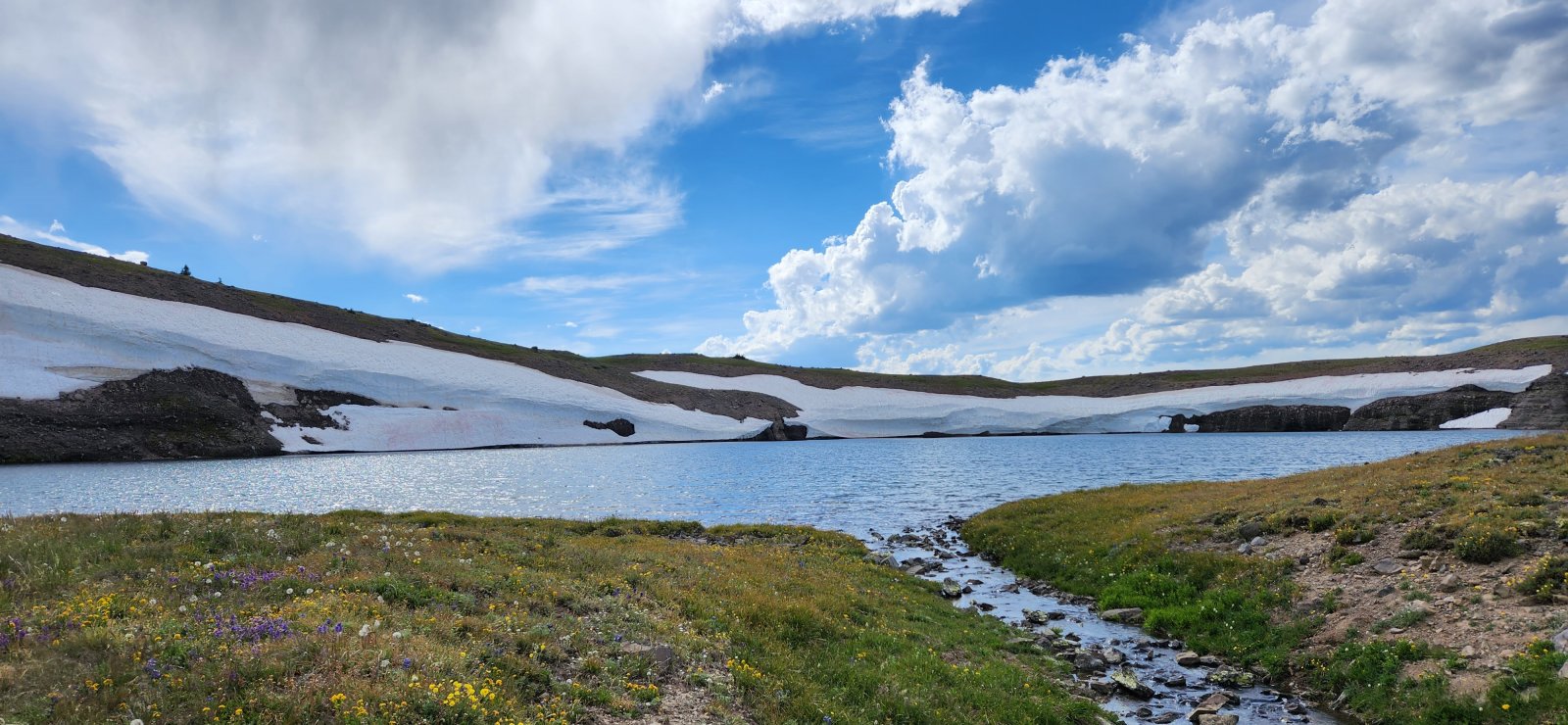
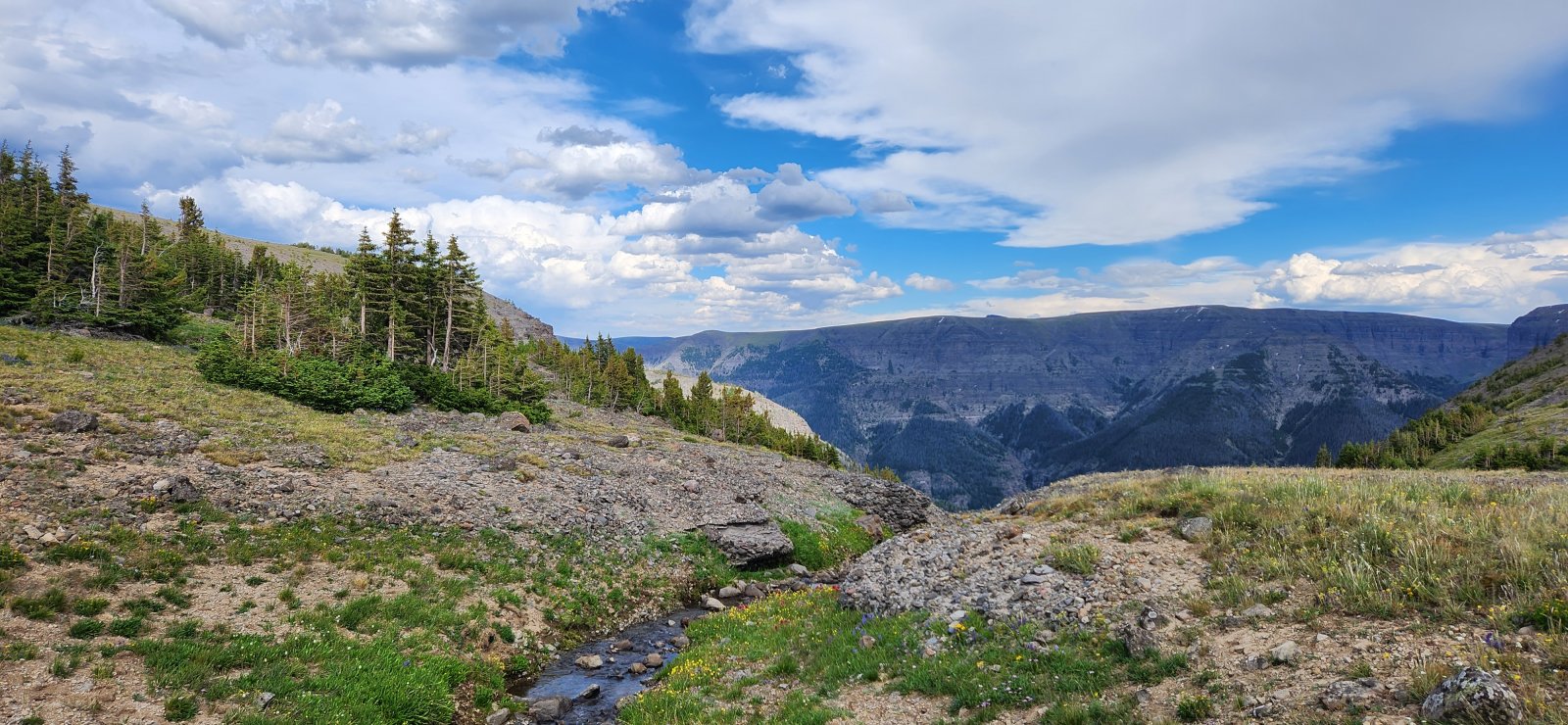
Looking down the drainage.
Day 5: Lake 10,445' to Brooks Lake
Beautiful day, but not much new to say. This section has been covered plenty. Got back to our cars and had a hamburger at Cowboy Cafe before going our separate ways.
Crescent Mountain.
Always love this view.
Comments
23 comments on BackcountryPost.com